In modern farming, knowing where a machine is can be just as important as knowing what it is doing. Accurate positioning supports automated steering, variable-rate application, yield mapping, and repeatable field operations—tasks where even small positioning errors can create overlaps, skips, and wasted inputs.
Standard GPS provides standalone satellite positioning, generally at meter-level accuracy. Real-Time Kinematic (RTK) adds real-time reference data and advanced processing to achieve centimeter-level positioning under suitable conditions.
This guide compares RTK and standard GPS for precision agriculture, explains how each technology works, and shows how EFIX agricultural positioning solutions can help farms improve efficiency, input management, and crop performance.

Understanding Standard GPS Technology in Agriculture
GPS (Global Positioning System) is the United States’ satellite navigation system. In practice, many modern agricultural machines use multi-constellation GNSS receivers that can access signals from GPS, China’s BeiDou, Europe’s Galileo, and Russia’s GLONASS. A GNSS receiver on a tractor, sprayer, or harvester receives signals from multiple satellites and calculates its position using their known locations and the time it takes those signals to arrive.
However, satellite signals can be affected by atmospheric conditions, satellite clock and orbit errors, terrain, and signal blockage. As a result, standard or single-point GNSS positioning typically provides meter-level accuracy rather than the centimeter-level precision required for many advanced field operations.
At this accuracy level, standard GPS is useful for:
●Basic field navigation and scouting
●Recording approximate field boundaries
●General machinery tracking
●Preliminary mapping and data collection
●Operations where broad location information is sufficient
For farms beginning their precision-agriculture journey, standard GNSS can provide valuable visibility. But as operations become more specialized—such as row-crop planting, strip-till, controlled traffic, or variable-rate fertilization—the limitations of meter-level accuracy become more apparent.
What Is RTK GPS and How Does It Work?
RTK (Real-Time Kinematic) is a satellite positioning correction technique that is not limited to GPS but also supports other GNSS constellations. It combines carrier-phase measurements with real-time data from a reference station or reference network.
So, how does RTK work? In a typical setup:
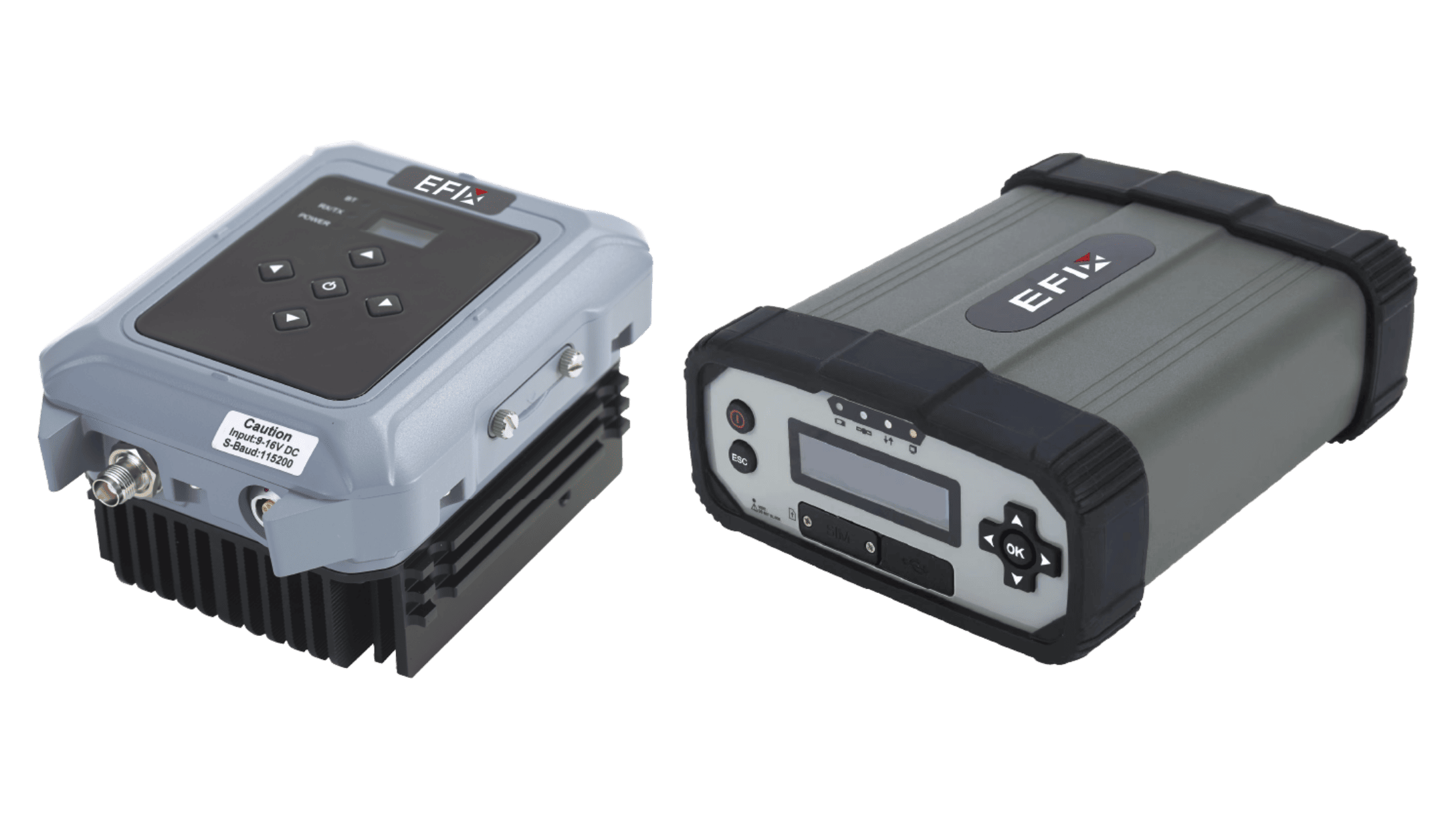
1. Establish a reference. A base station operates at a fixed, known location. Alternatively, an existing network of reference stations (CORS mode) provides the reference data.
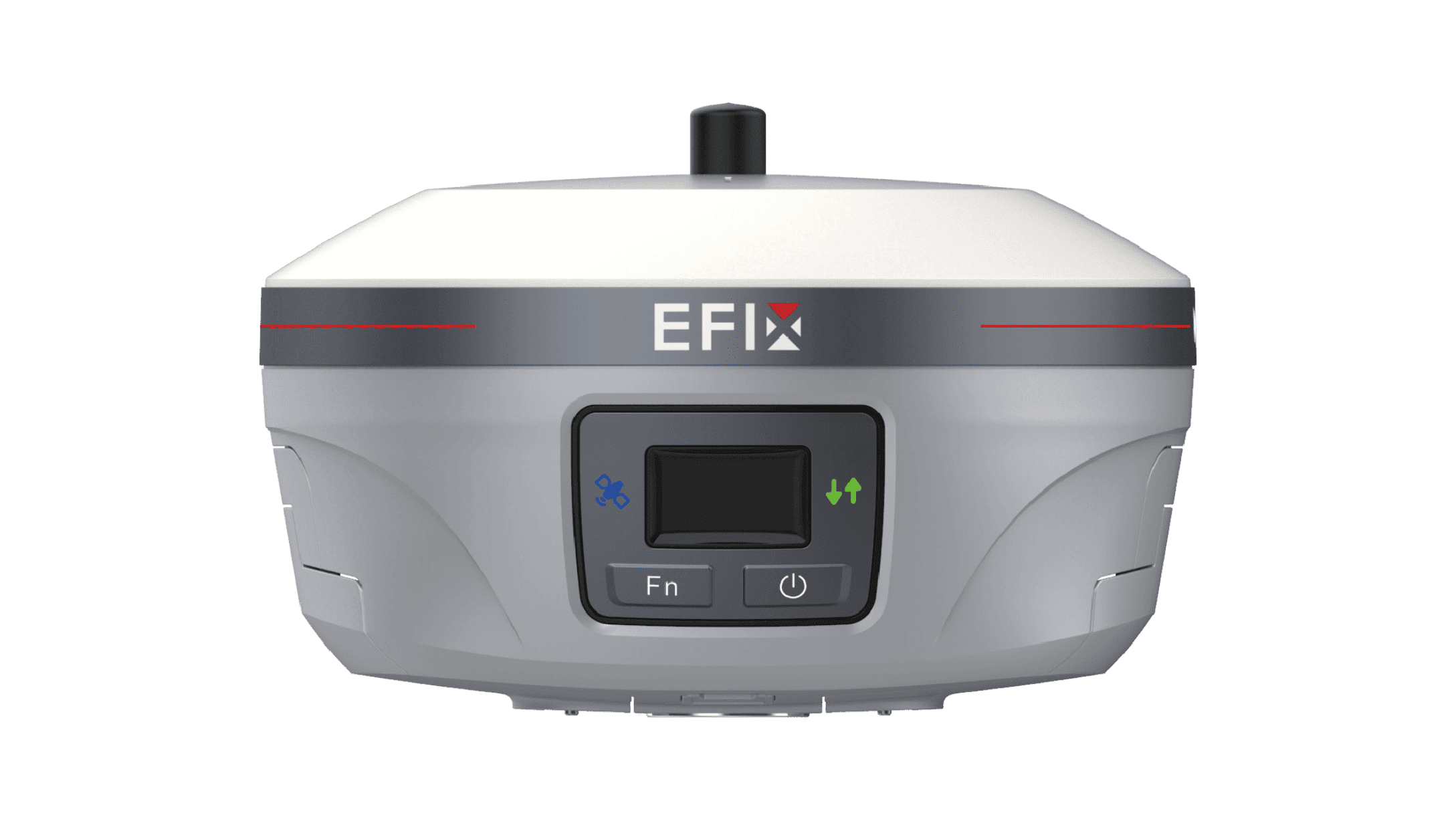
2. Receive satellite signals. Both the reference station and the moving GNSS receiver—called the rover—on the tractor or implement receive satellite signals.
3. Provide reference data. The base station or network supplies data that allows the rover to account for positioning errors shared by both receivers.
4. Transmit the data. Reference data reaches the rover through a radio link or an internet connection, commonly using a cellular network.
5. Calculate a more accurate position. The rover combines the reference data with its own satellite measurements to calculate its position with centimeter-level accuracy.
RTK commonly achieves RTK accuracy of ±2.5 cm in favorable conditions, although real-world performance depends on satellite visibility, correction-source quality, distance to the base station or network, and local signal conditions.
Furthermore, local radio RTK can operate without mobile internet. Network RTK requires suitable service coverage and connectivity. For deployment and investment considerations, read our farmer’s guide to GNSS RTK systems.
RTK vs. Standard GPS: Key Differences for Precision Agriculture
| Comparison | Standard GPS/GNSS | RTK GPS/GNSS |
| Typical accuracy | A few meters; equipment and conditions vary | Centimeter level, often ±2.5 cm |
| External reference data | Not required | Local base or reference network required |
| Short-term guidance | Limited suitability for closely spaced passes | Suitable for precise adjacent passes |
| Repeated operations | Position drift limits reliable return to narrow paths | High repeatability with consistent reference coordinates |
| Connectivity | Satellite reception; no correction link required | Radio or internet correction link |
| Cost considerations | Lower equipment cost | Compatible receiver plus base equipment or service costs |
| Typical applications | General navigation, approximate tracking and mapping | Row planting, strip tillage, repeat guidance, controlled traffic |
Why RTK GPS Accuracy Matters in Precision Agriculture
1. Planting and Seeding
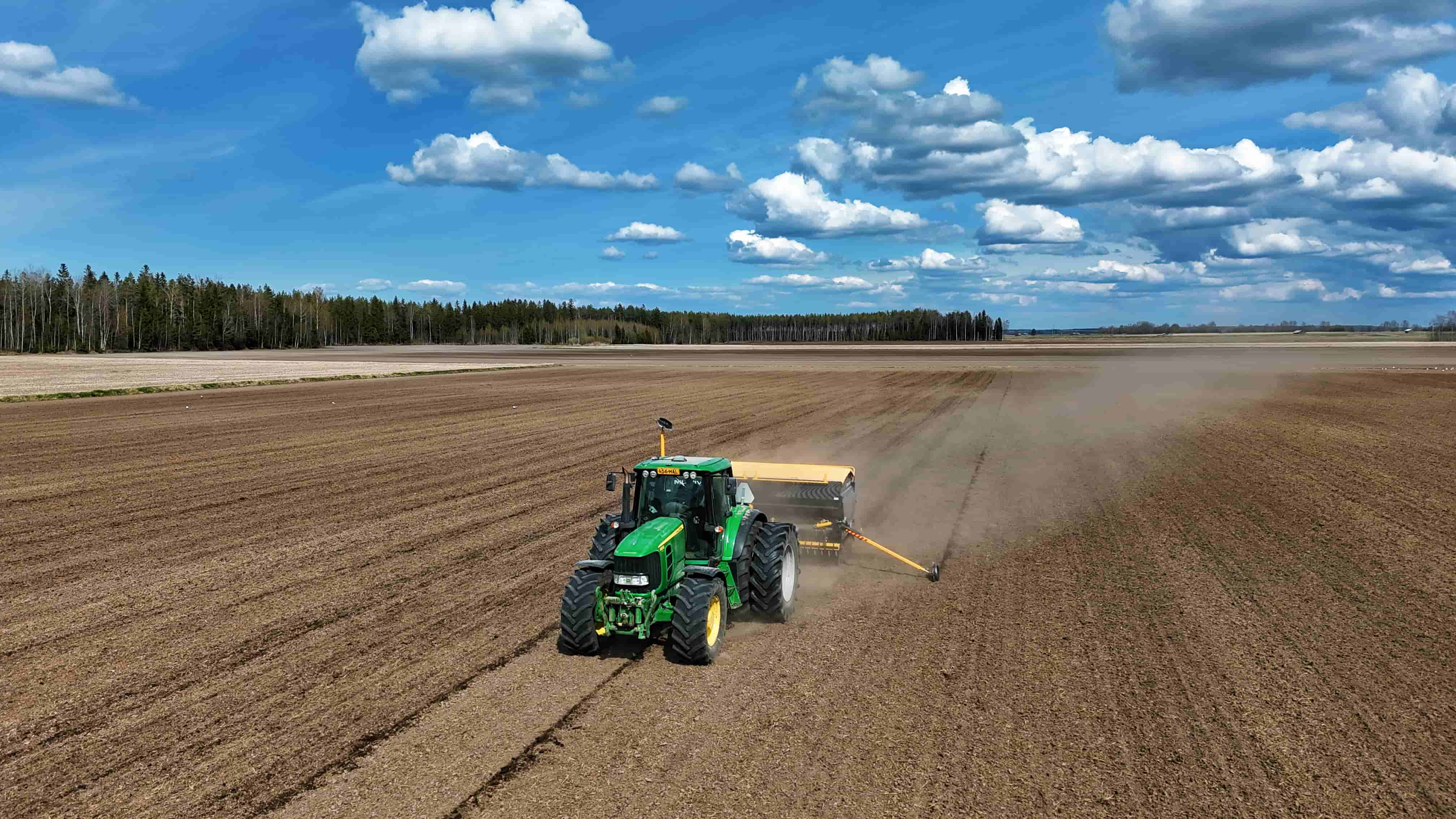
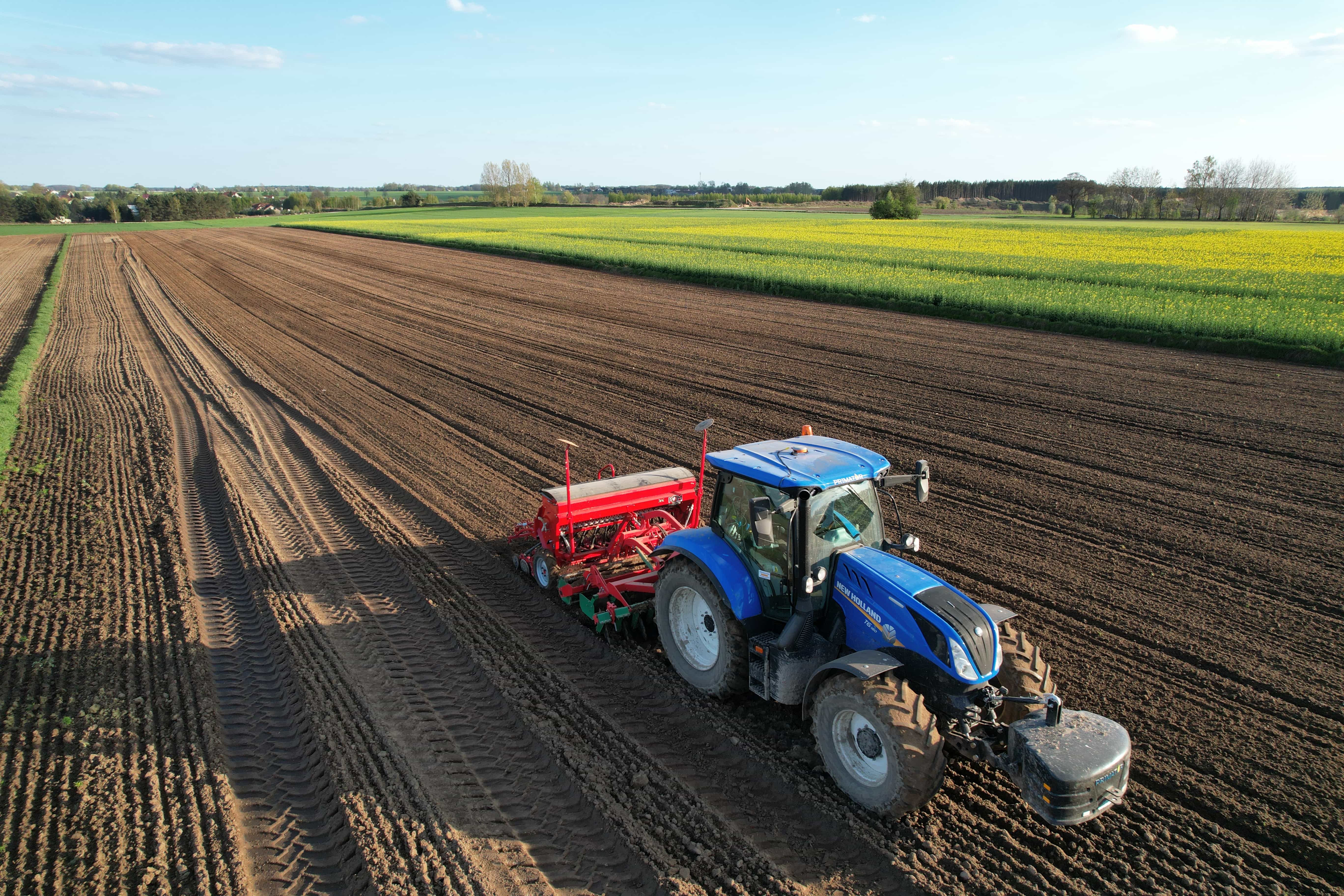
Consistent seed placement depends on the planter following the intended line pass after pass. With RTK-guided steering, operators can maintain more uniform row spacing and reduce unintentional overlaps or skipped areas.
This is especially valuable in row crops, bed-forming systems, and operations where subsequent passes—such as cultivation, irrigation, or harvesting—need to align with the original planting lines.
2. Spraying and Fertilization
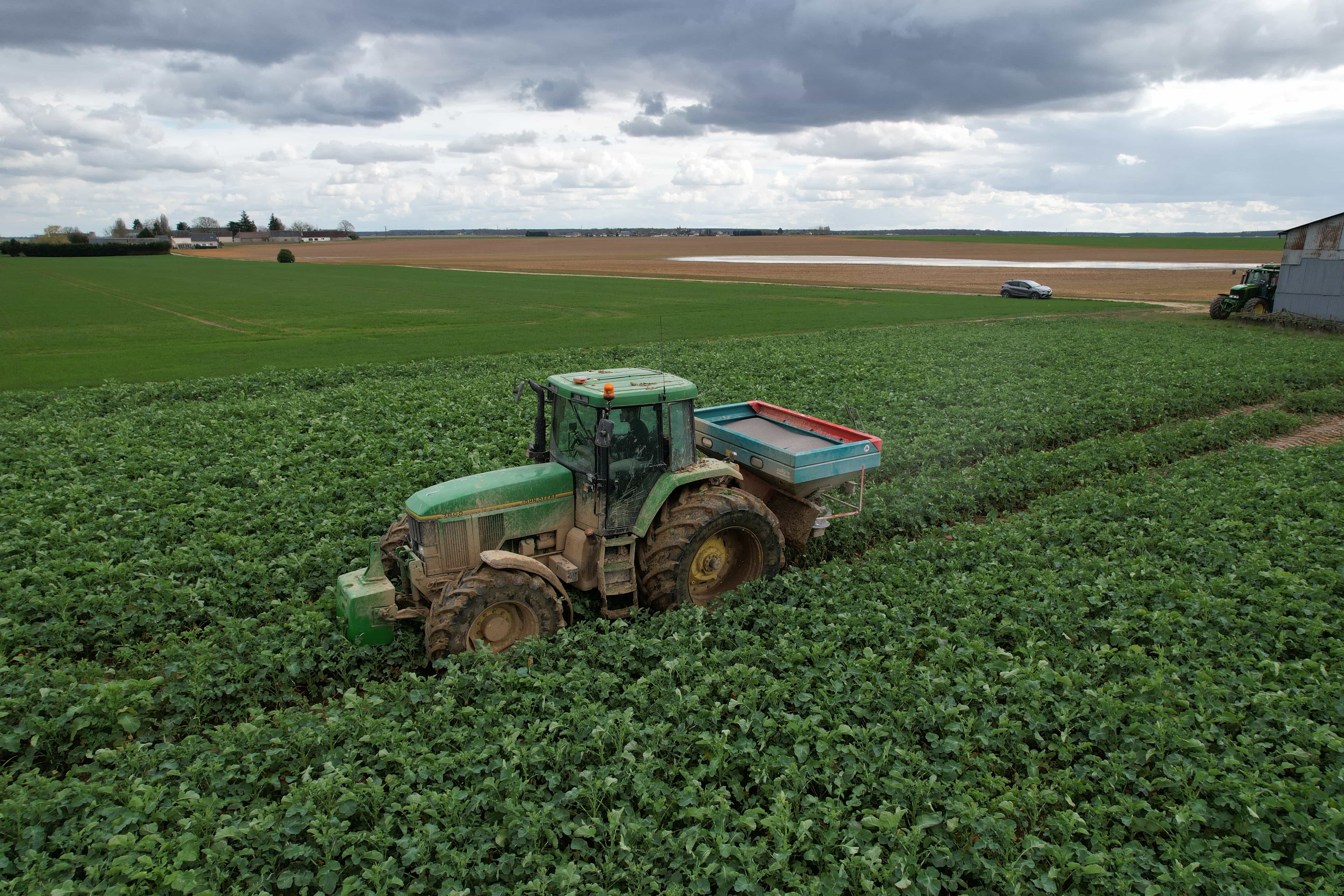
In spraying and fertilization, positioning errors can lead to double application in some areas and missed application in others. RTK guidance helps machines follow precise paths, supporting more even coverage and more efficient use of crop-protection products and nutrients.
When combined with variable-rate application, accurate positioning also helps ensure that the right input rate is applied in the intended field zone. Variable-rate application relies on spatially identified data to adjust seeds, fertilizers, and crop-protection inputs across a field.
3. Tillage and Field Preparation
Tillage requires consistent passes to prepare seedbeds, manage residue, and avoid unnecessary soil disturbance. RTK guidance helps operators maintain straight, repeatable lines and reduces redundant passes that consume fuel and increase machine wear.
For farms using strip-till, bed preparation, or controlled traffic practices, repeatable RTK lines become particularly important.
4. Harvesting and Row Guidance
During harvest, accurate guidance helps operators stay aligned with crop rows and field boundaries. This can be useful in low-visibility conditions, at night, or in dense crops where visual references are difficult to follow.
RTK-based row guidance can also support specialized crops and controlled-traffic systems, where maintaining the same wheel tracks across operations helps limit soil compaction.
5. Controlled Traffic and Repeated Field Operations
Controlled traffic farming aims to confine machinery to permanent traffic lanes, reducing compaction across the rest of the field. This approach depends on the ability to return to the same paths season after season.
RTK’s repeatable accuracy makes it better suited to this type of long-term field management than standard GPS alone. The benefit is not only immediate guidance accuracy, but also the ability to build consistent operational patterns over time.
Why Choose EFIX Agriculture Solutions for Precision Farming?
At EFIX, we develop high-precision agricultural positioning equipment, auto steering systems, and OEM integration solutions. Our approach connects navigation with practical machinery control.
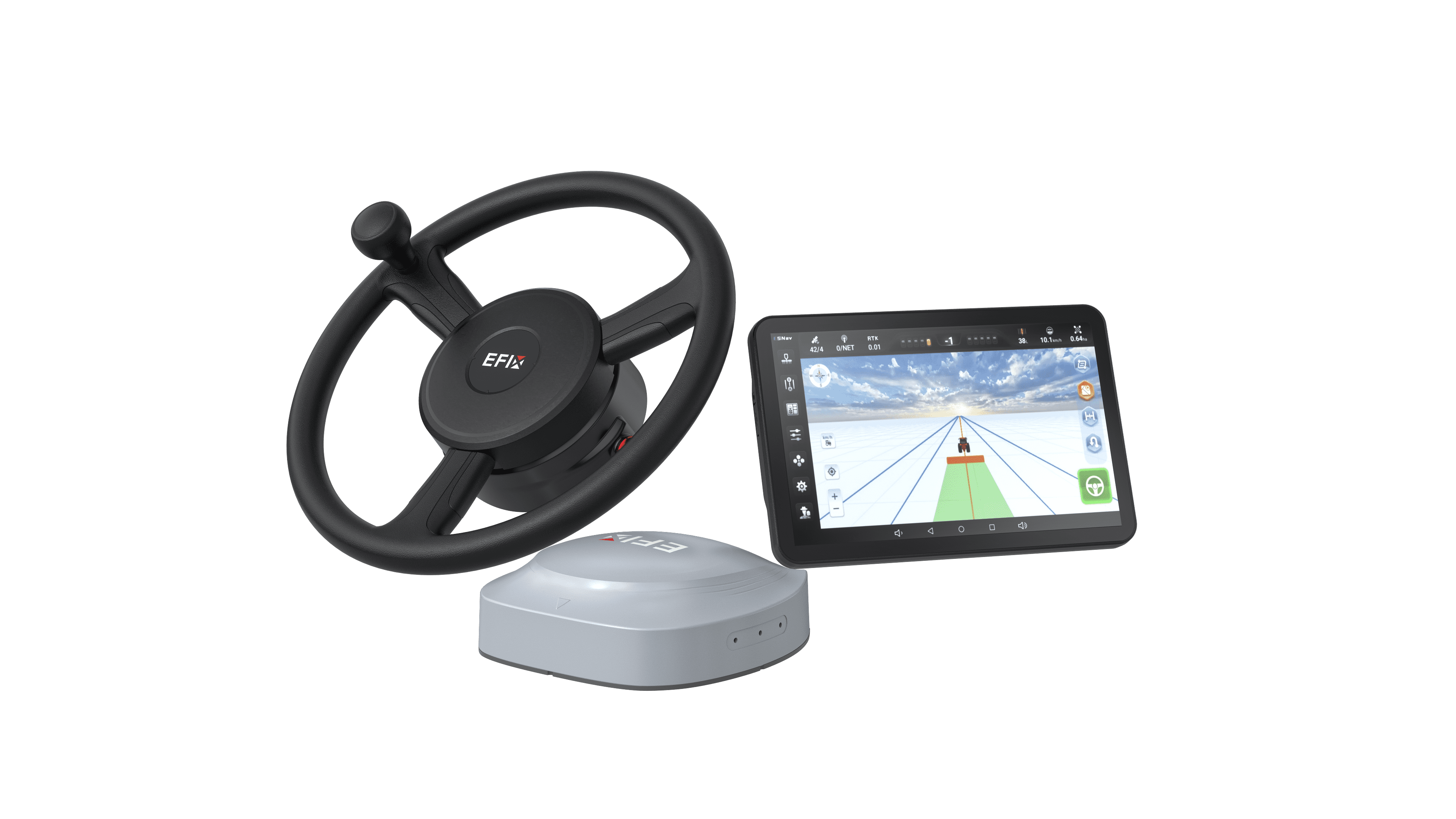
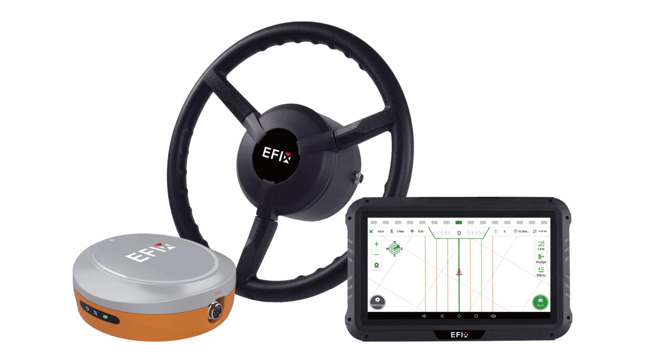
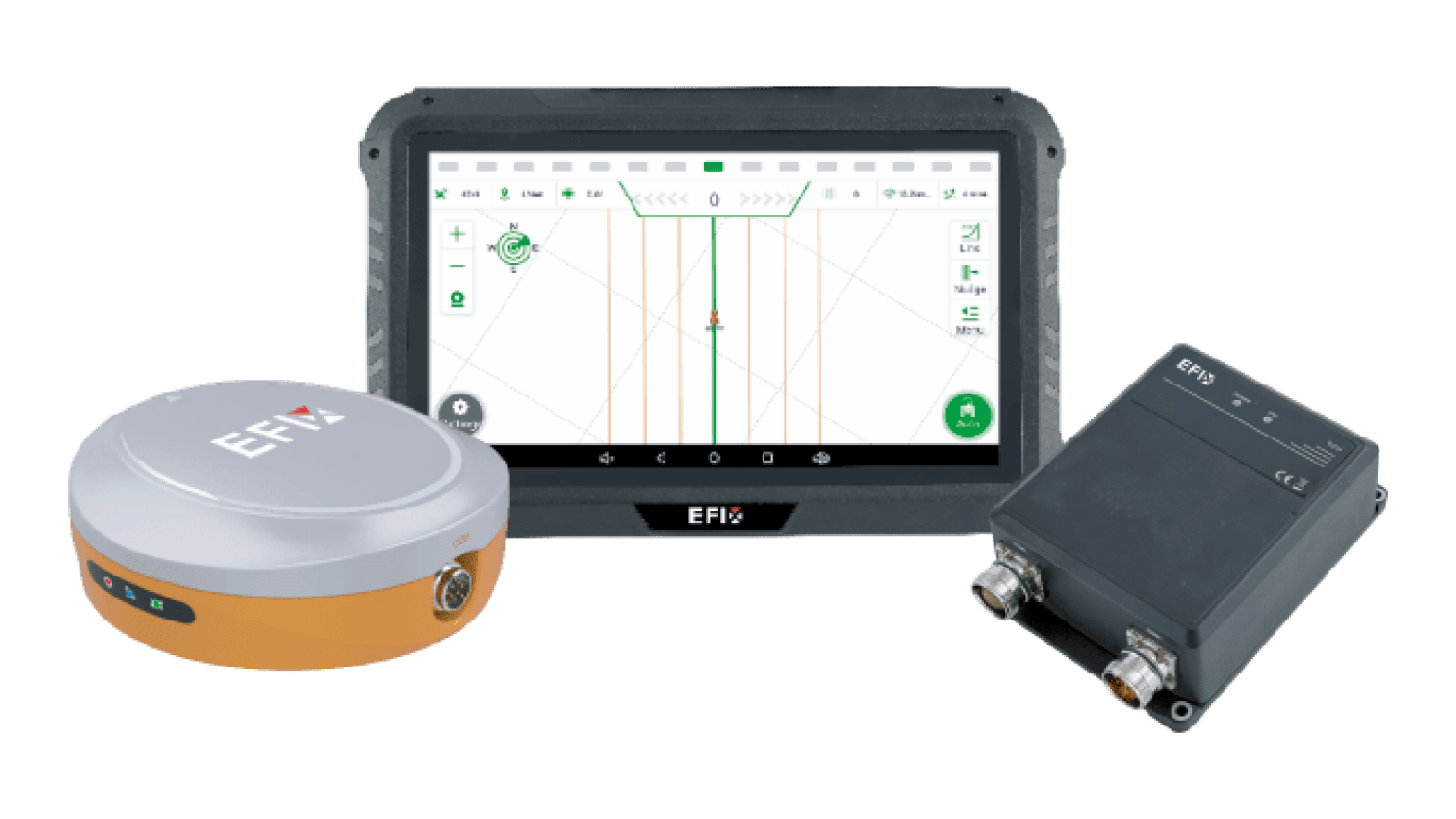
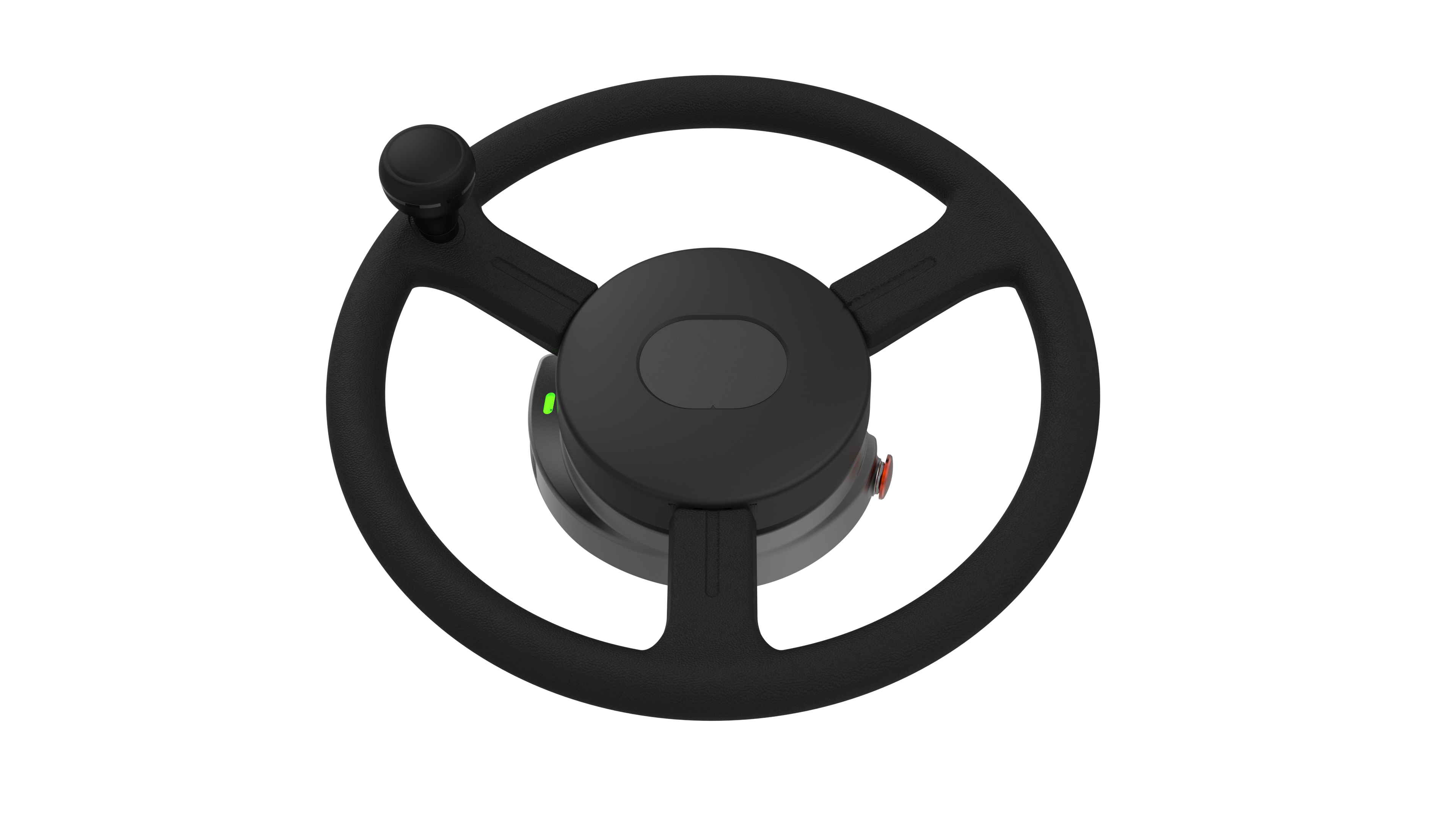
For farms seeking a high-precision tractor guidance system, the EFIX eSteer20 Max auto steering system is designed to bring RTK-level positioning and intelligent guidance into everyday field operations.

Key strengths include:
●Multi-mode GNSS support: The system supports SPP, DGPS, RTK, H-PPP, and EFIX-PPP (PointSky) positioning modes.
●High-precision guidance: The eSteer20 Max delivers ±2.5 cm accuracy across varied terrain, with RTK performance of ±8 mm + 1 ppm RMS horizontally and ±15 mm + 1 ppm RMS vertically.
●Flexible correction options: In addition to RTK, our PointSky satellite correction service is designed to support remote areas where cellular RTK coverage may be limited.
●Advanced guidance lines: The eSteer20 Max supports AB lines, A+ lines, curves, circular curves, irregular rake lines, 90-degree lines, boxed lines, full-path lines, and planning lines.
●ISOBUS compatibility: Full ISOBUS functionality, including UT, SC, and GEO, allows operators to manage compatible implements from one terminal.
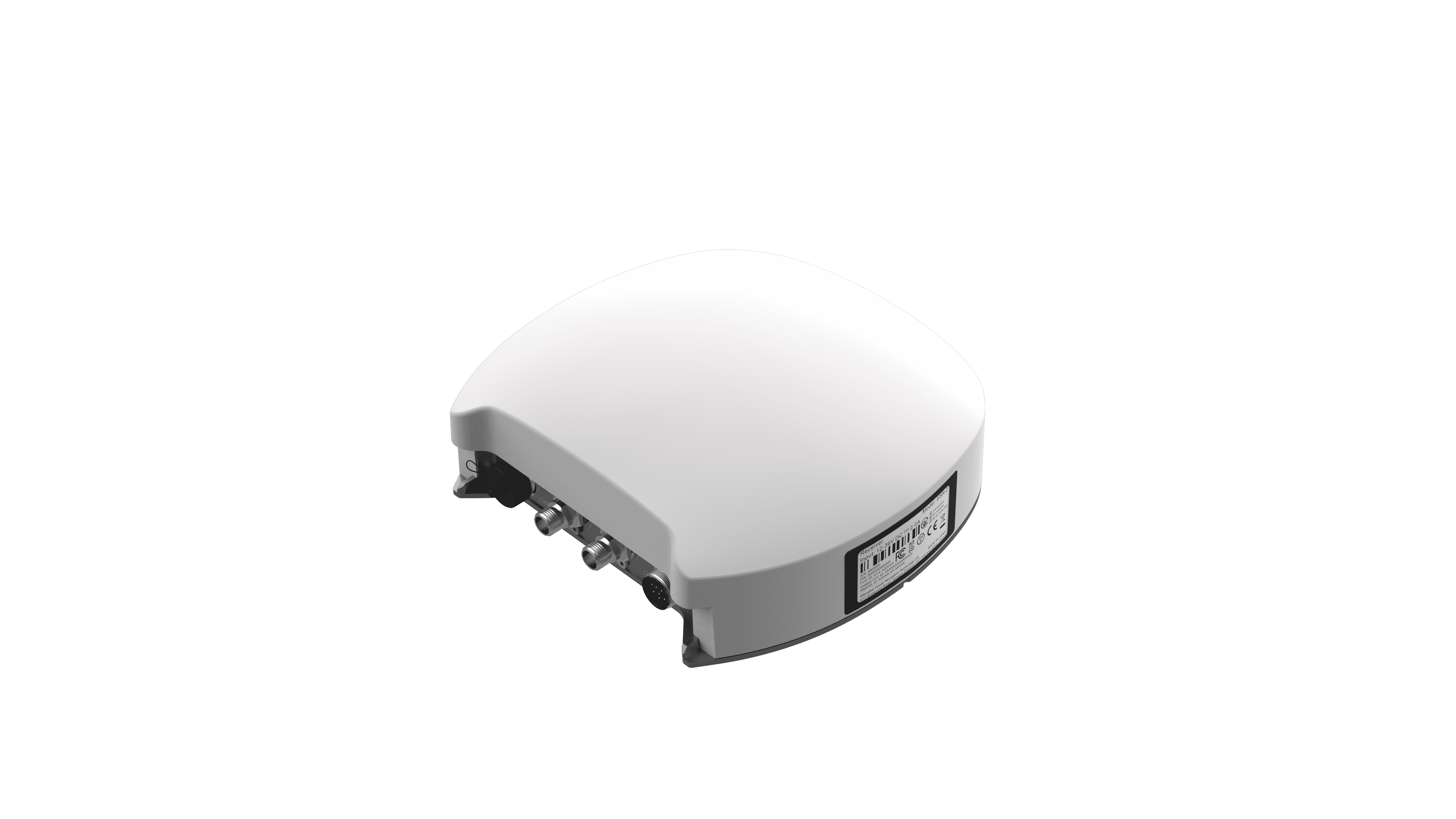
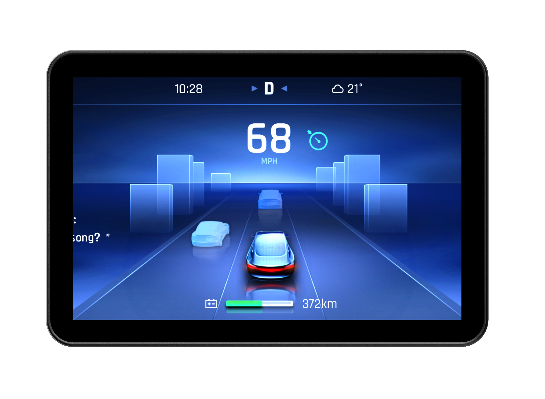
●Operator-friendly hardware: A 12.1-inch industrial touchscreen, Android 11, 4G LTE, Wi-Fi, Bluetooth, and an IP67-rated GNSS receiver support demanding field conditions.
●Expandable functionality: The platform can extend into visual guidance, implement guidance, and row guidance for specialized operations.
Choosing the Right Positioning Solution
Standard GPS remains useful for basic navigation and general farm data collection. However, when precision, repeatability, and input efficiency become priorities, RTK provides a substantially stronger foundation for precision agriculture.
For farm owners, machinery manufacturers, OEM partners, and dealers, the key question is not only “How accurate is the receiver?” but also “Can the system maintain reliable, repeatable guidance in real field conditions?”
At EFIX, we provide more than industry-leading tractor RTK guidance systems. Our team also helps customers select the right positioning setup for their operations—whether a local reference station or a CORS-based correction service is the better fit for their field conditions, connectivity, and workflow.
If you would like advice on upgrading your farm navigation system, contact our professional team for tailored support.