-
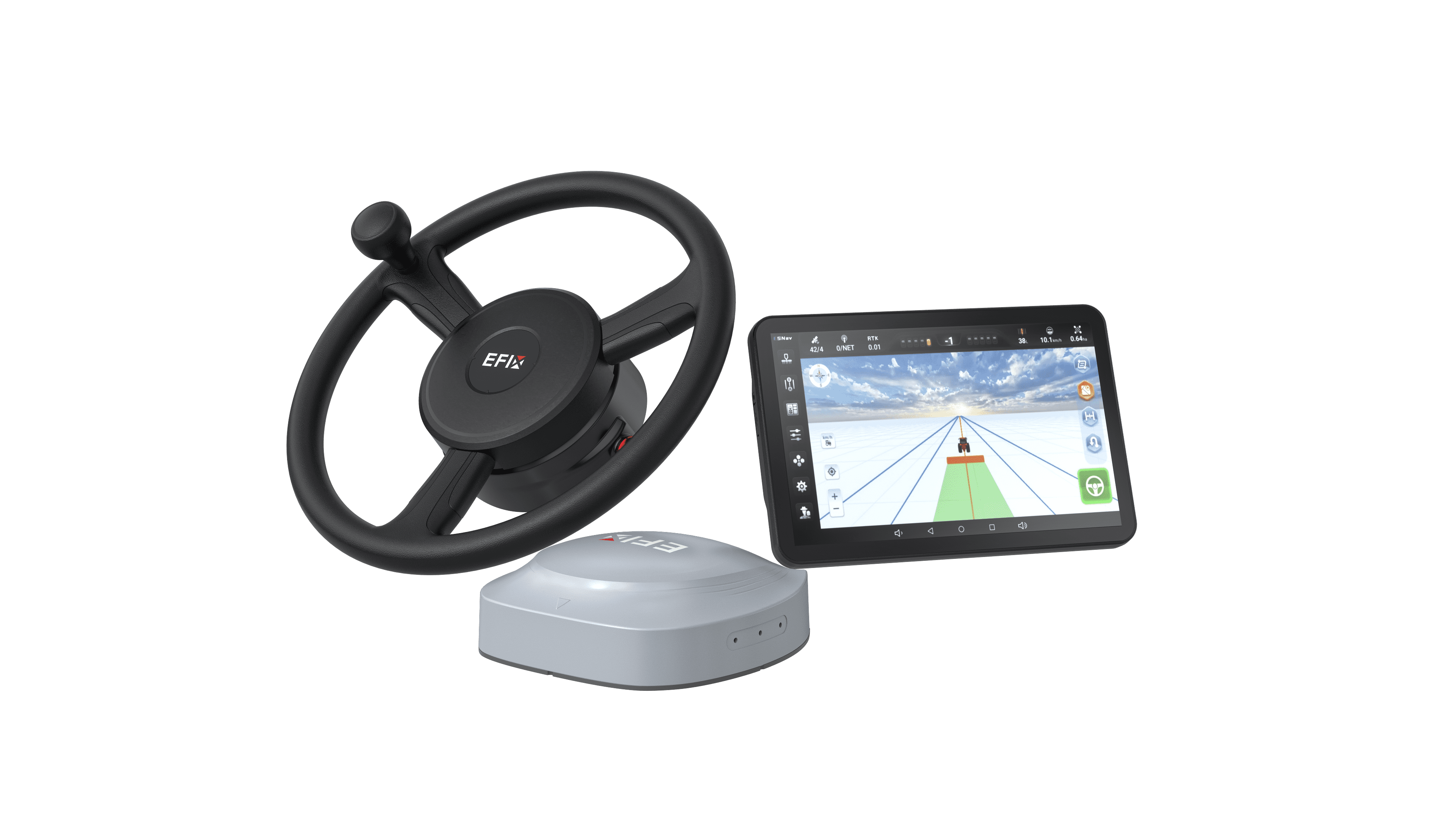
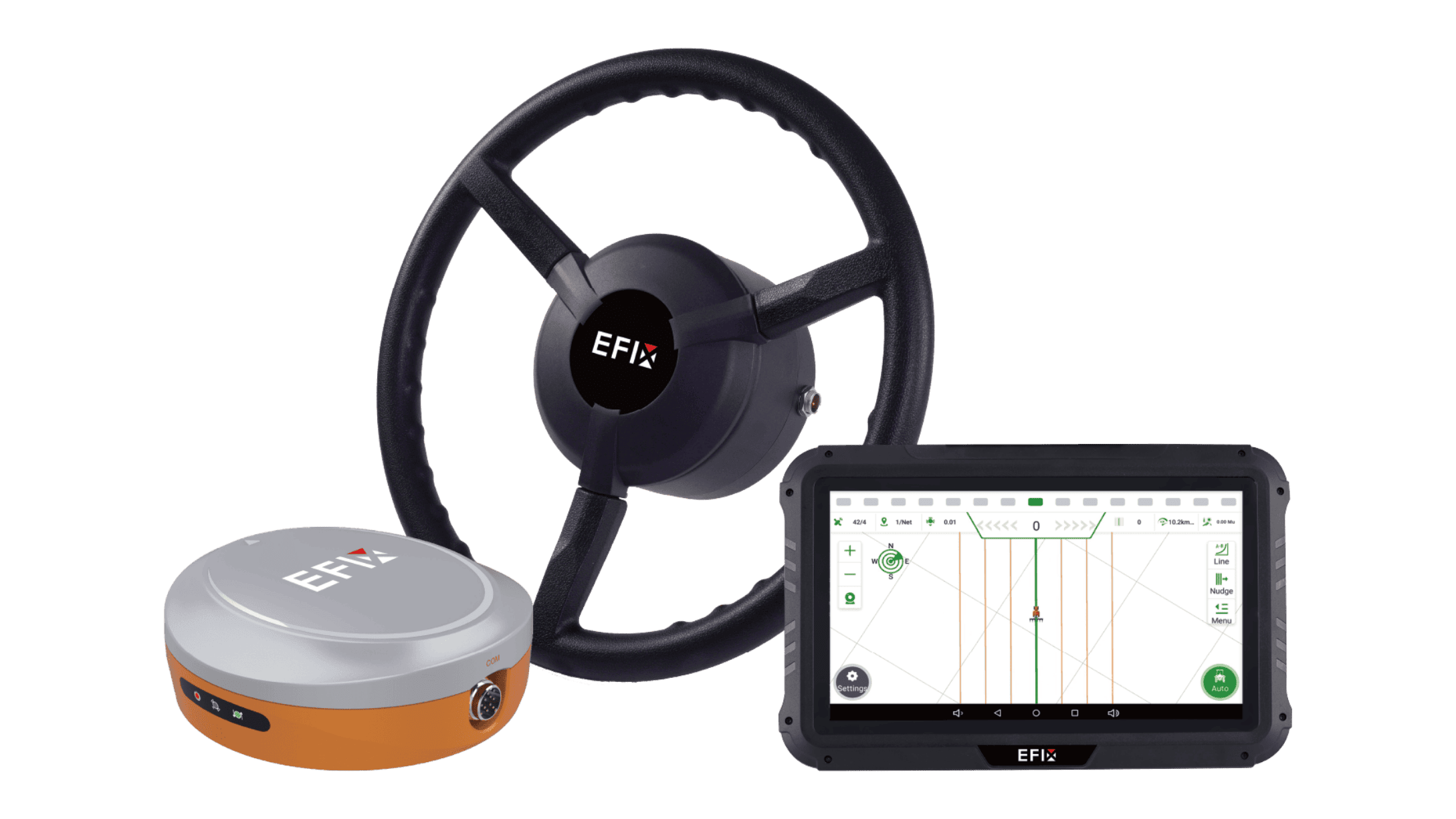
Auto Steering Systems

-
Solutions
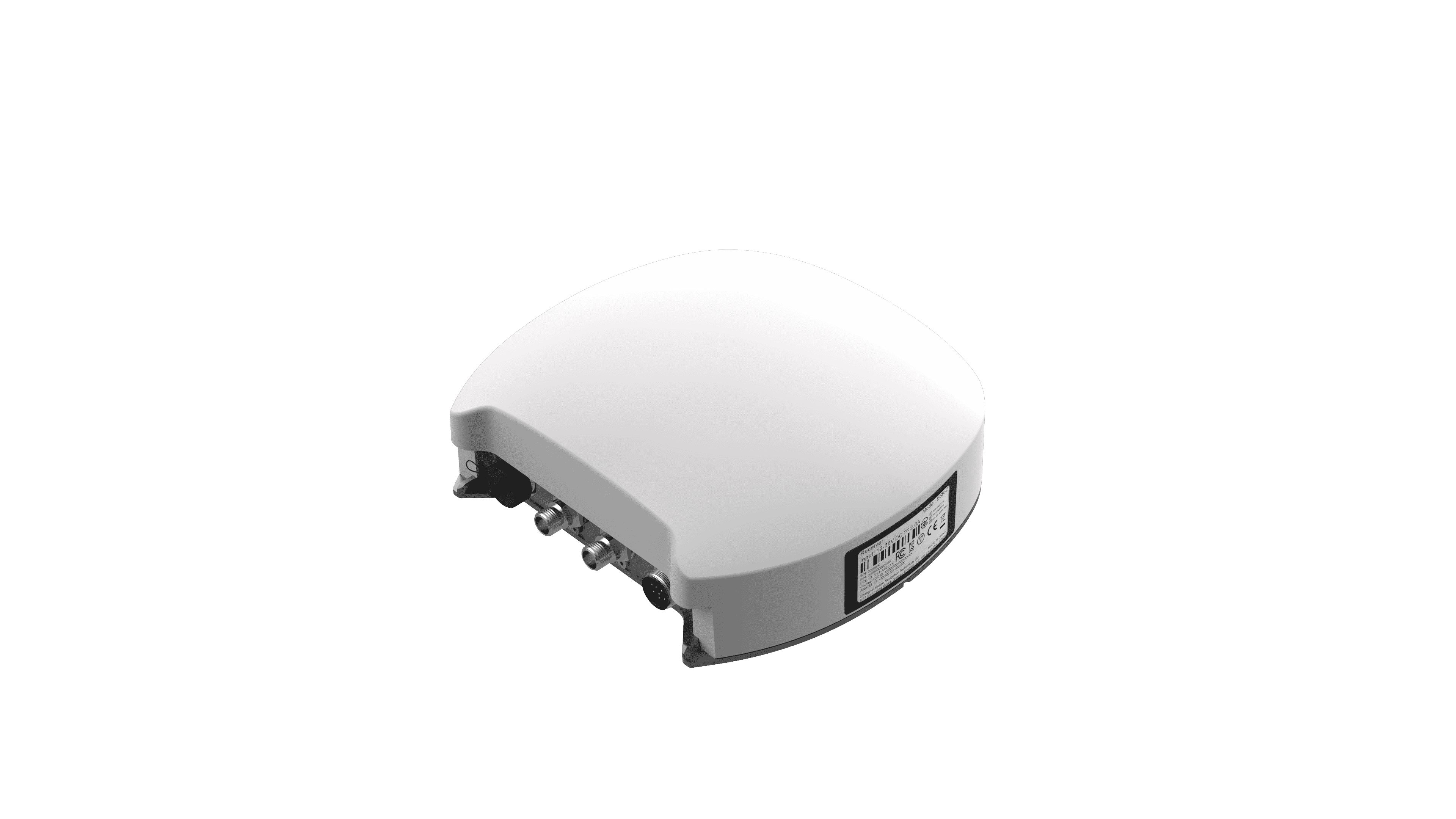
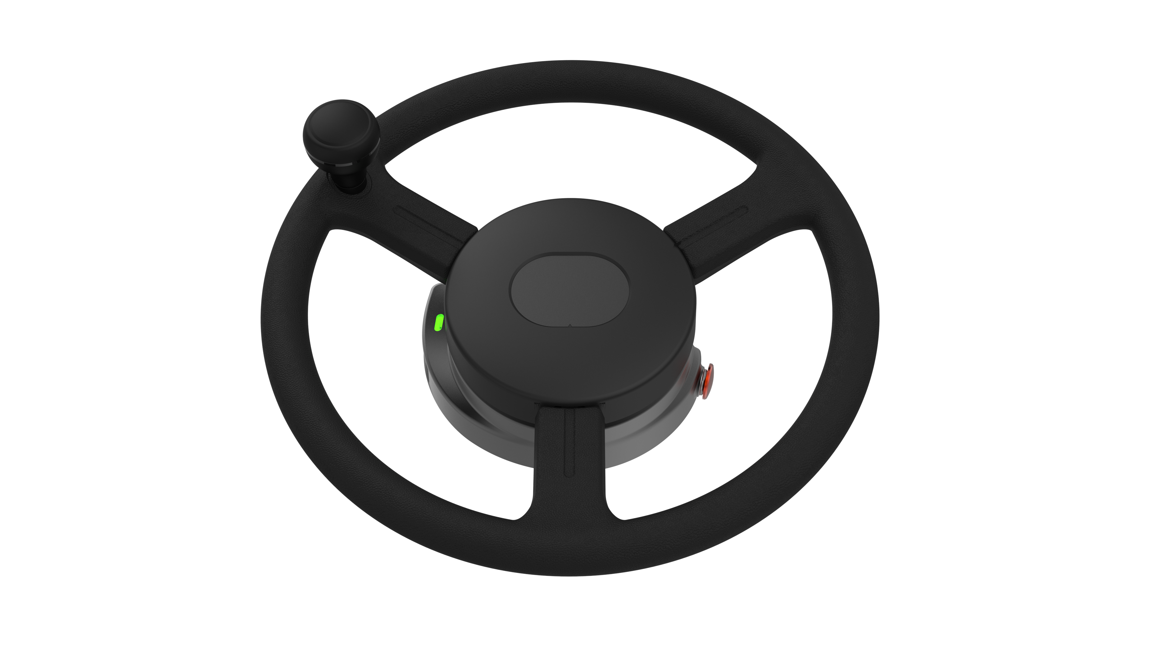
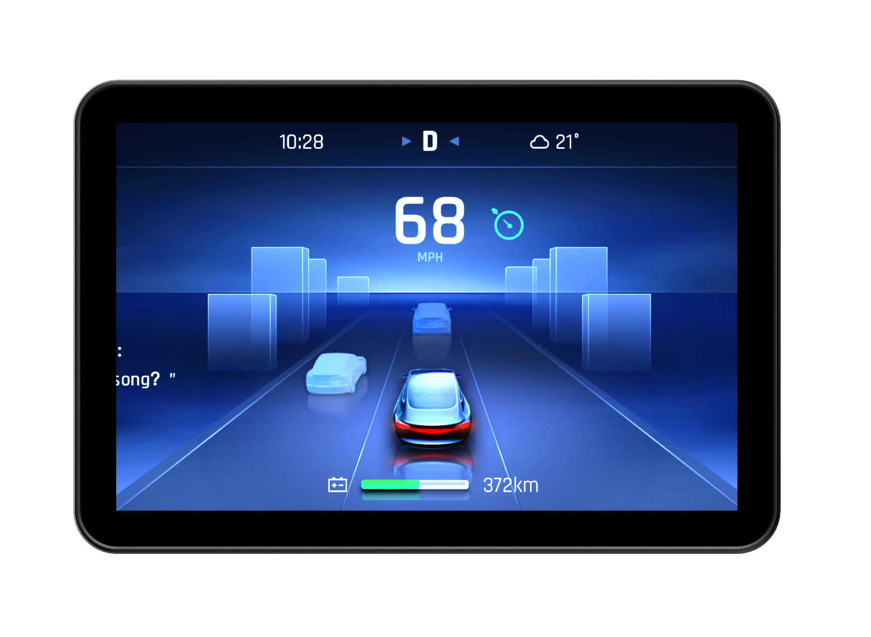
Auto Steering Systems

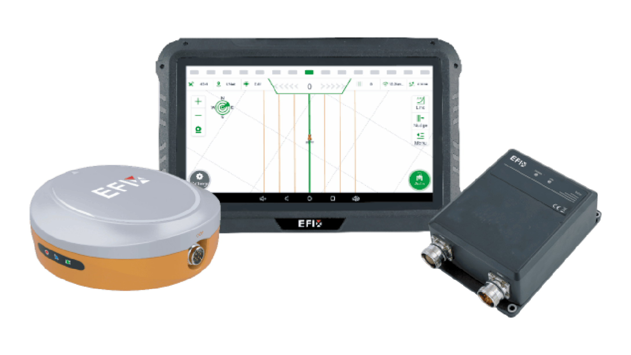
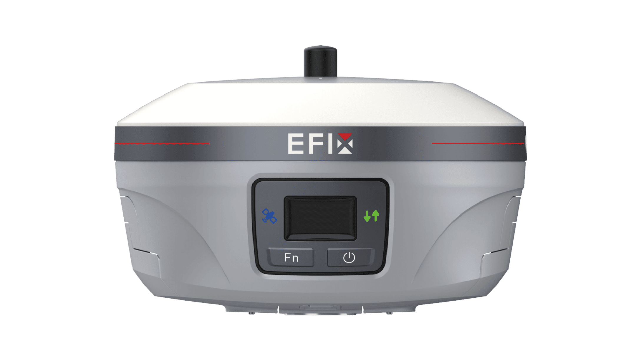
GNSS Systems
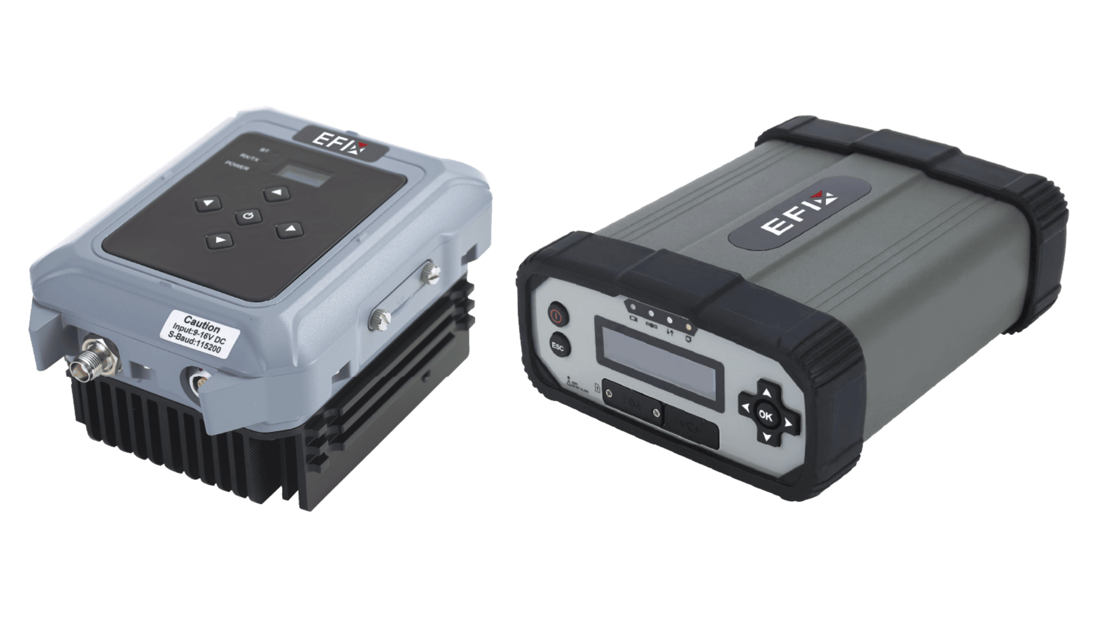
OEM
Solutions

Auto Steering Systems
Learn more
Products
Solutions

GNSS Systems
Learn more
Solutions

OEM
Learn more
- Support
- Newsroom
- About
- Contact