Extended functions designed for more specific working conditions.
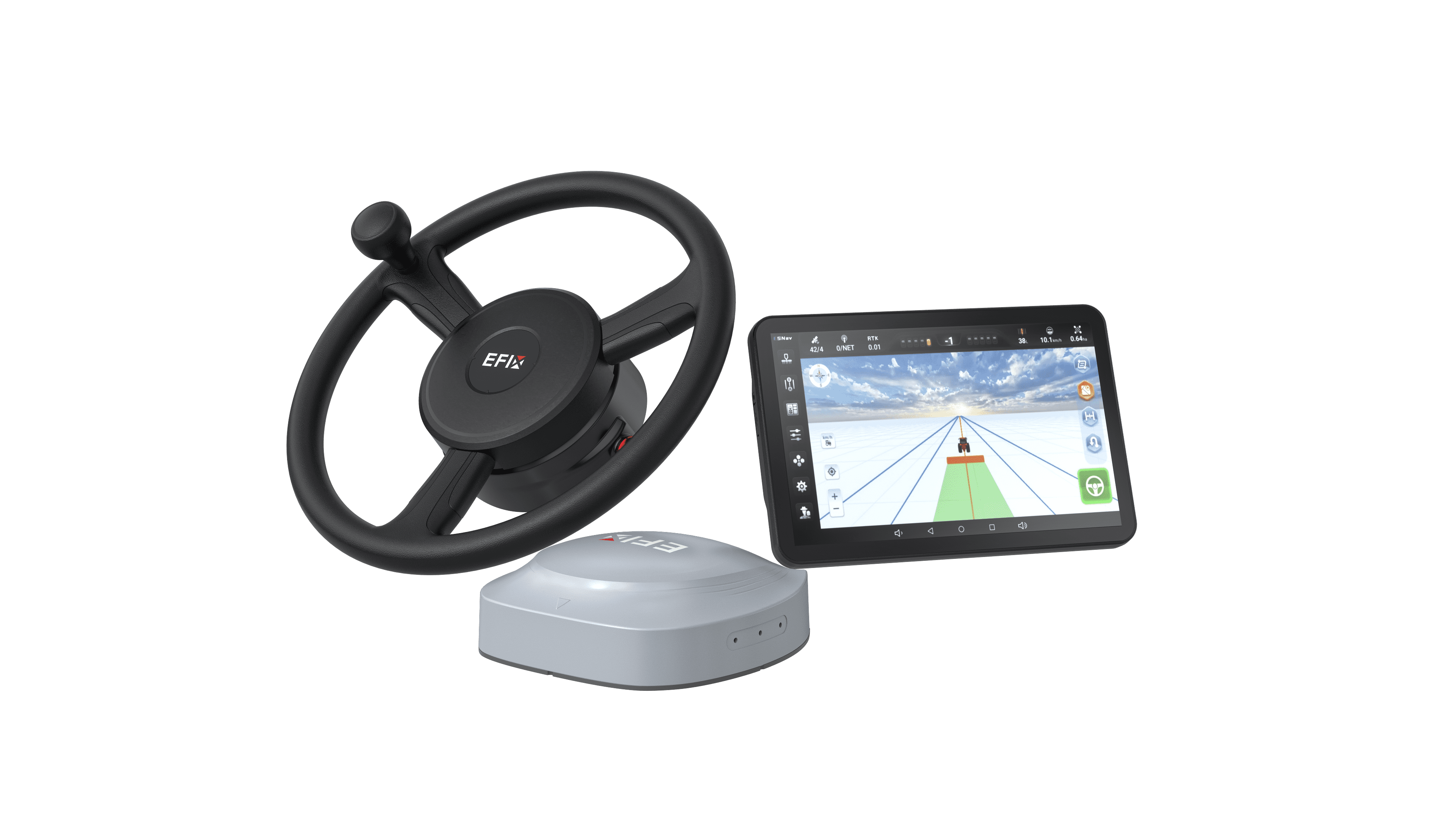
With stronger hardware, eSteer 20 Max can be extended with fruitful functions including visual guidance, Implement guidance, row guidance to make sure the machine can work perfectly in any conditions.
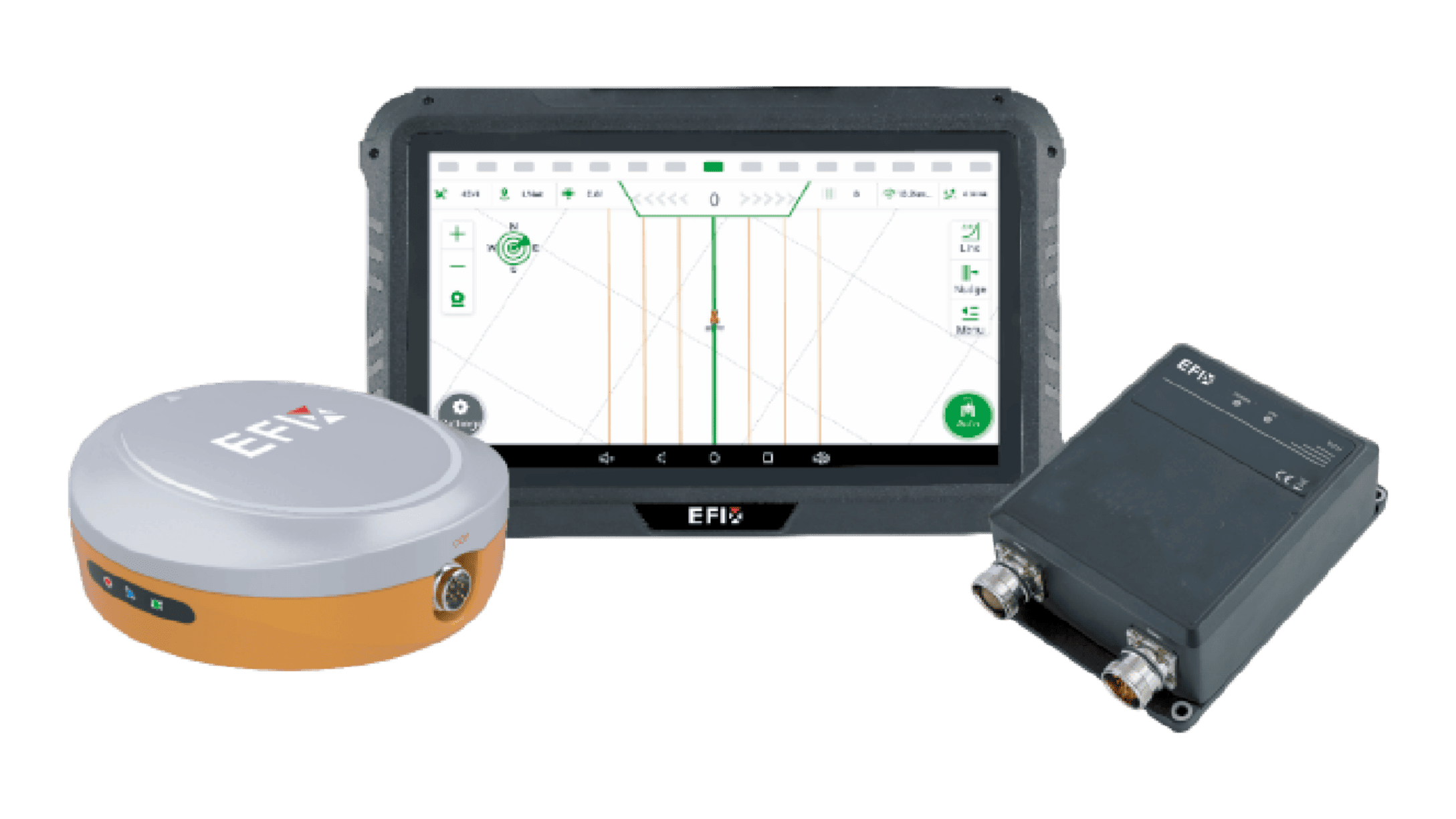
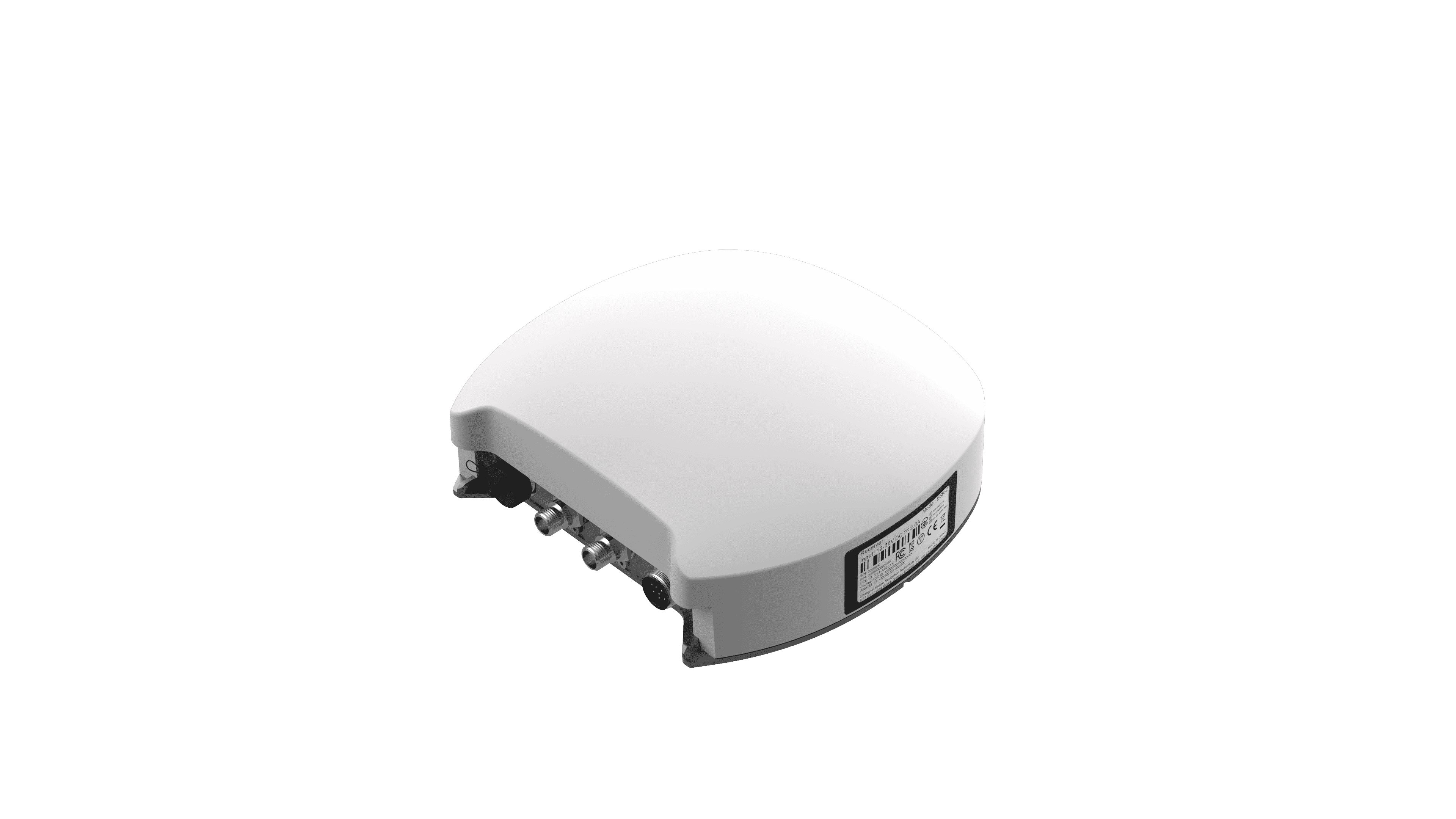
Multiple GNSS mode including EFIX-PPP satellite-based service.
The eSteer20 Max is equipped to operate with a diverse range of GNSS modes, ensuring accurate and reliable positioning under varying conditions. Compatible with SPP, DGPS, RTK, H-PPP (Galileo E6-HAS), and EFIX-PPP (EFIX's proprietary PPP), the eSteer20 Max provides unmatched flexibility to meet the demands of modern precision agriculture. EFIX-PPP can even give a high accuracy with less than 5 mins convergence time.
Exceptional Performance across all speed from 0.1km/h to 30km/h
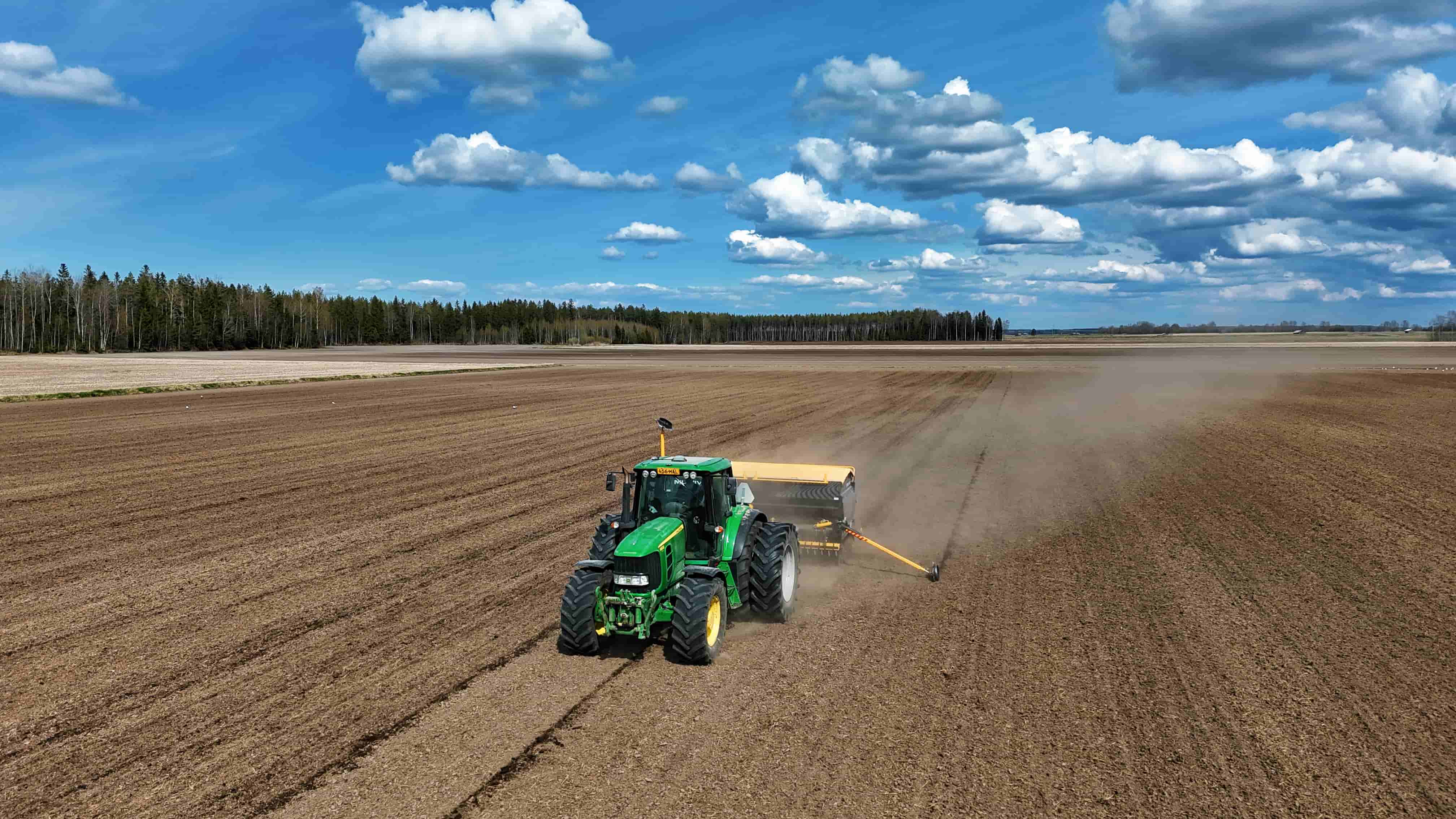
The eSteer20 Max is engineered for superior accuracy across a full operational speed range from 0.1 to 30 km/h. This flexibility ensures a high-precision performance at ±2.5 cm, regardless of speed or task. The system seamlessly adapts to various farming operations, including seeding, spraying, ditching, and land preparation, delivering consistent precision essential for optimal crop management and resource efficiency.
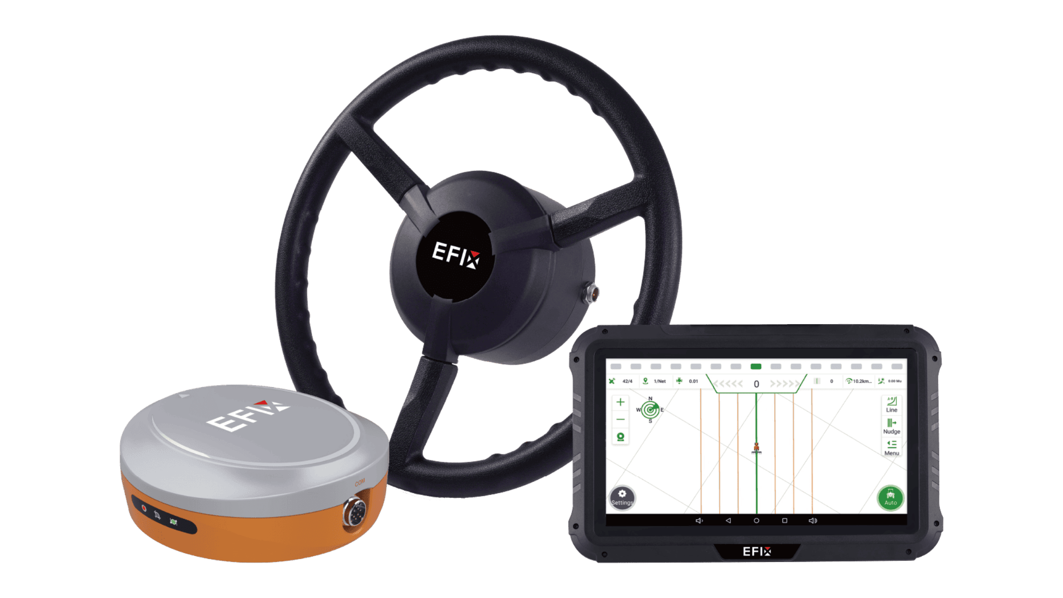
Versatile Guideline For all working conditions
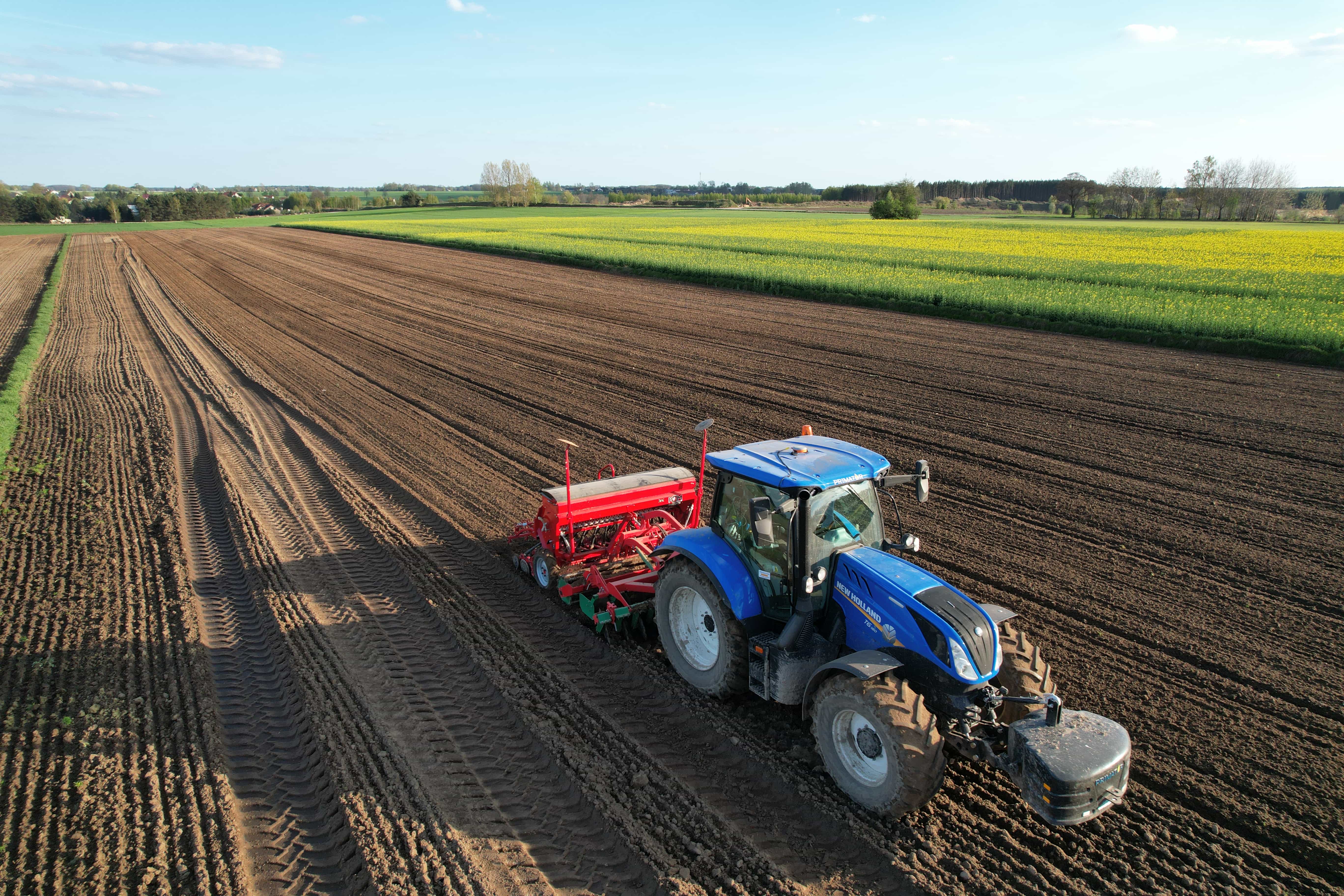
The eSteer20 Max offers a diverse array of guideline modes to handle a wide range of operational scenarios and field layouts. With support for multiple steering paths, including AB line. A+ line, curve, circular curve, irregular rake line, 90-degree line, boxed line, all-path line, and path-planning line.
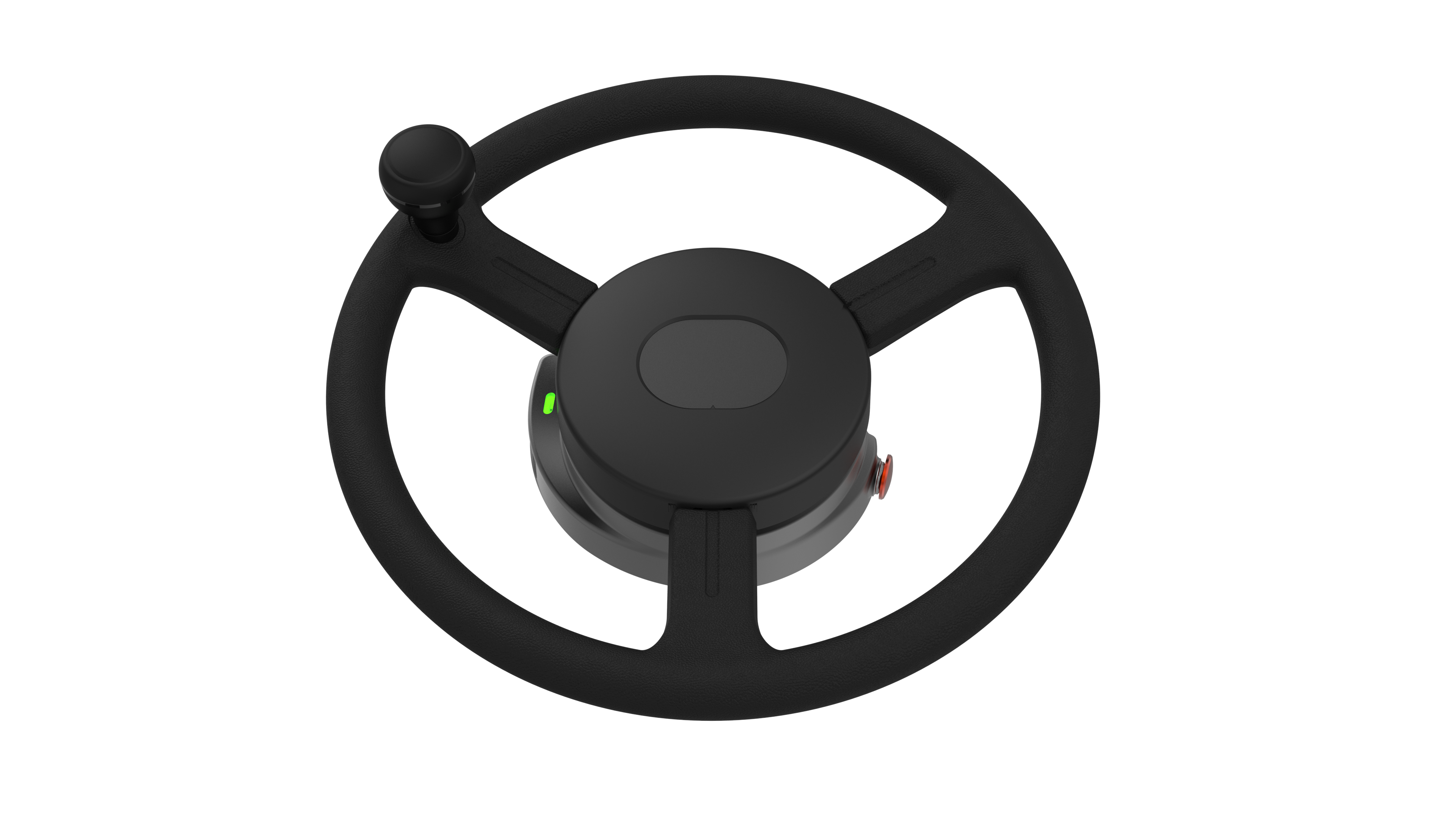
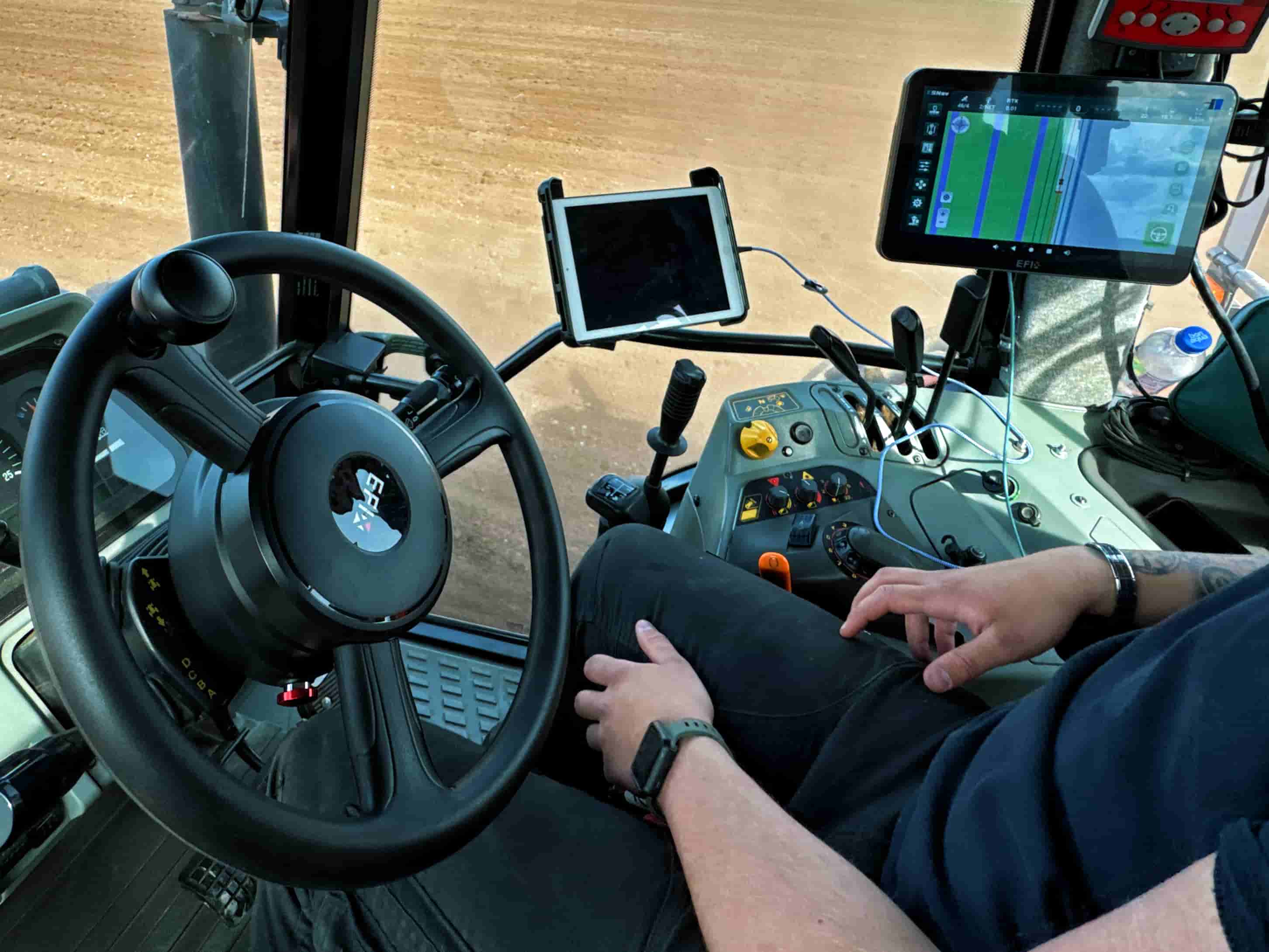
Brand new display with stronger chip to enable eSteer 20 Max to provide full functions of ISOBUS including UT, SC, GEO, controling implements in one single terminal.
Multiple way of Auto U-turn
eSteer 20 Max has fexible U-turn modes including skipping U-turn, curve U-turn, boundary U-turn and headland U-turn, the eSteer20 Max ensures adaptability for anyfarming task. This extensive selection enables seamless navigation across complex or irregular field shapes, empowering farmers with the flexibility needed for diverse agricultural and landscape.