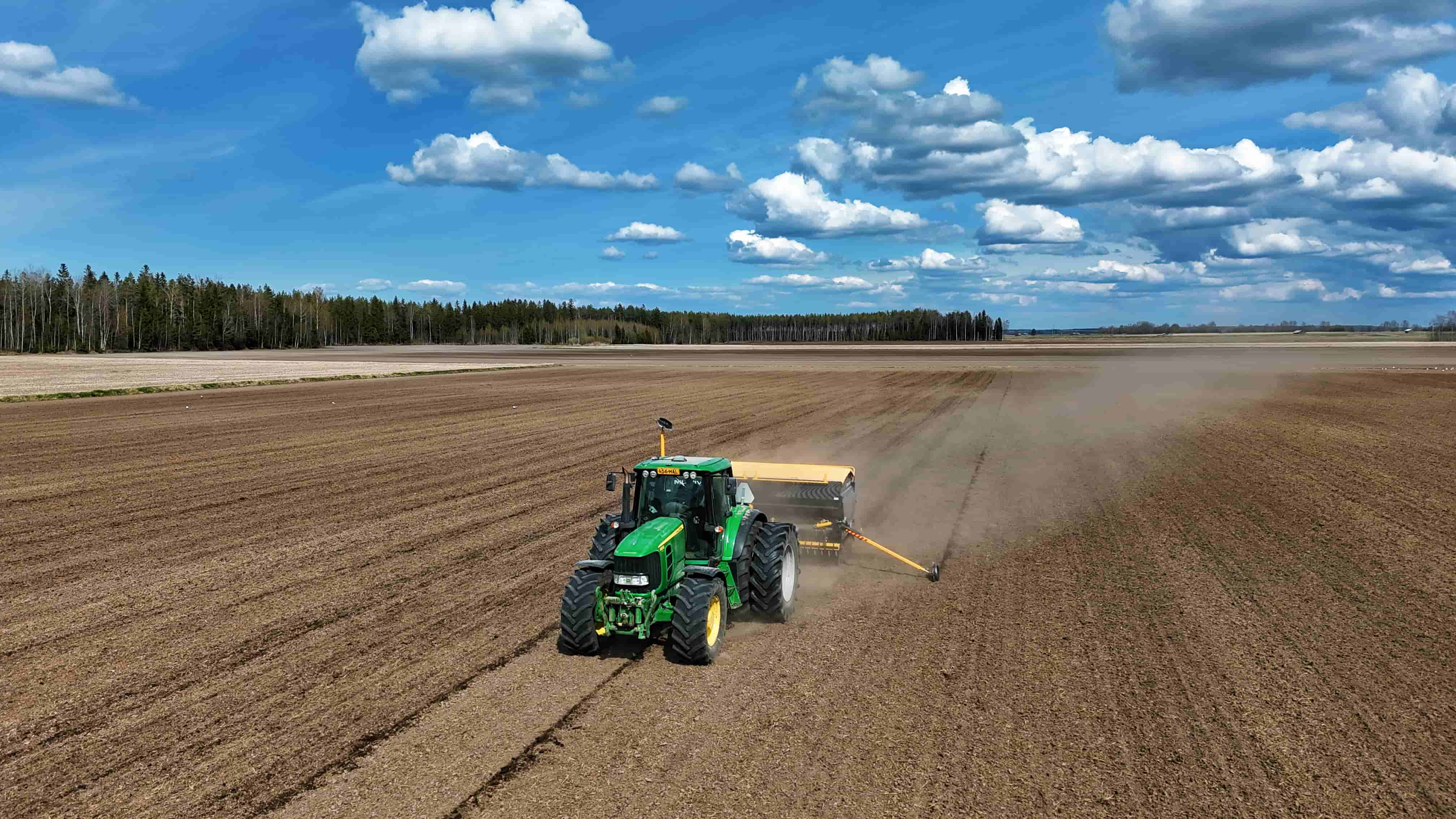
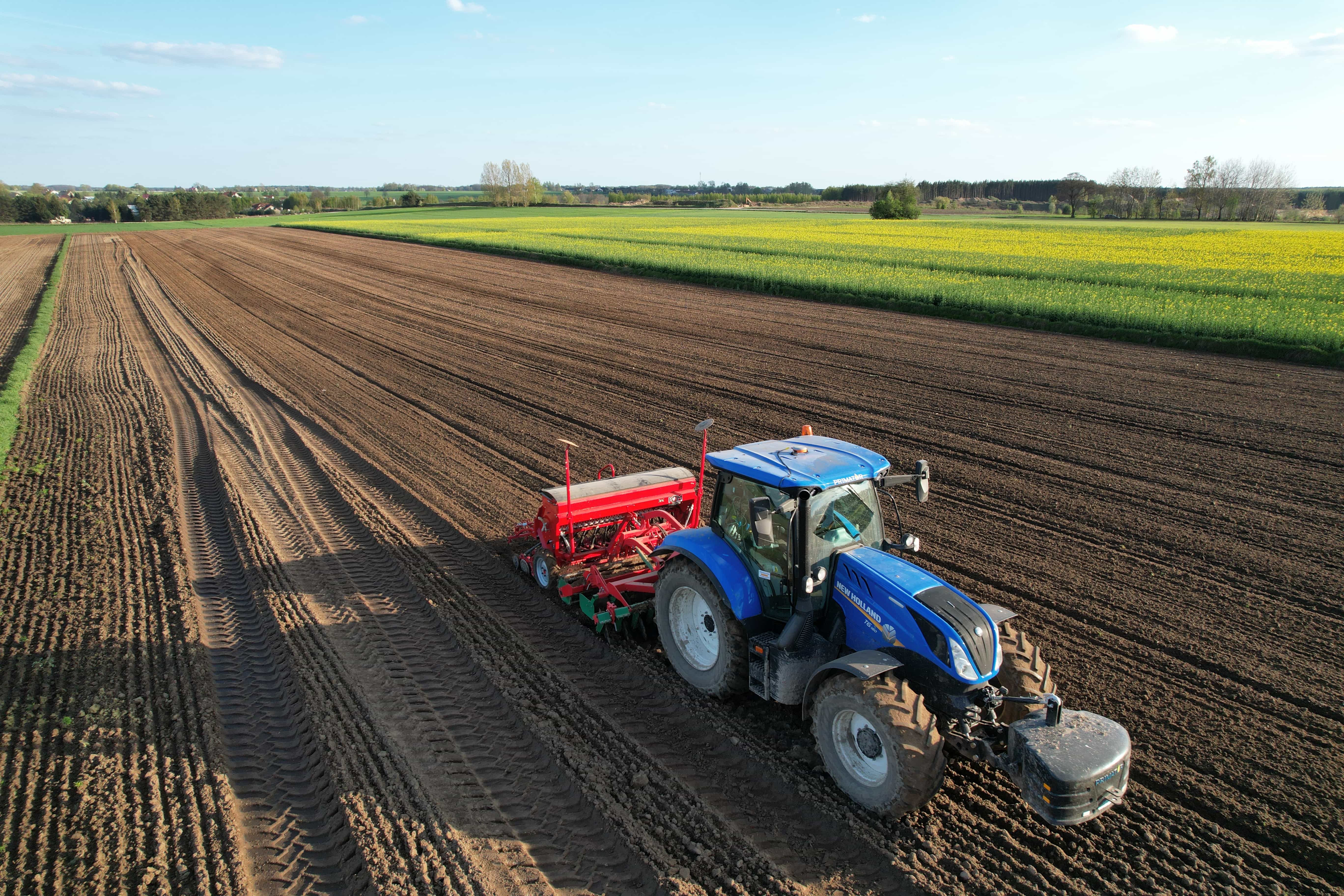
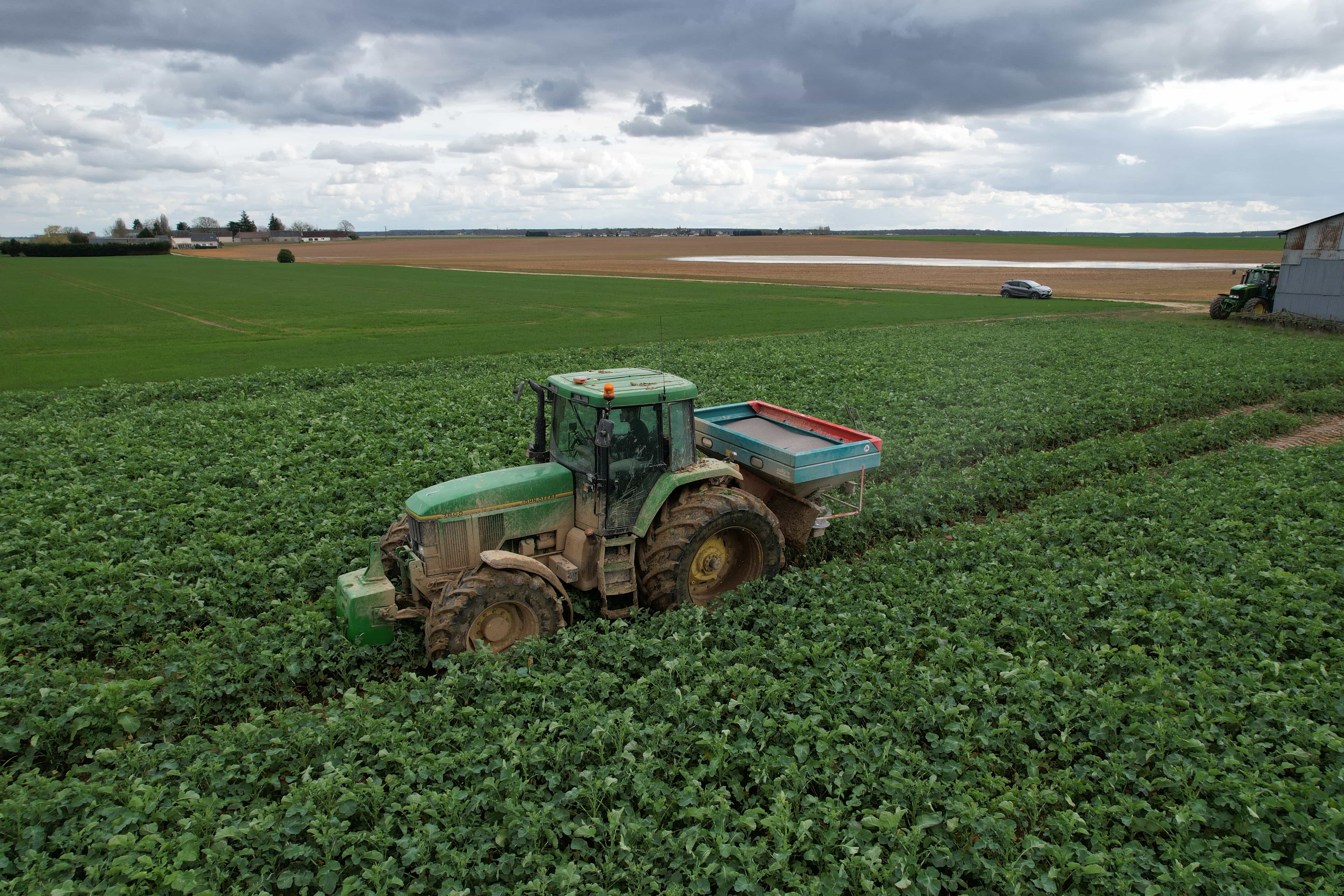
Agriculture GPS systems help tractors and other agricultural machines follow consistent paths during planting, spraying, spreading, and tillage. By reducing unnecessary overlaps and missed strips, they support more efficient fieldwork and better use of inputs.
However, choosing a system requires more than comparing advertised accuracy. Machinery compatibility, correction coverage, field conditions, and operator requirements all influence its practical value.
This guide explains the main technologies and selection factors to help you choose the best tractor guidance system for your farm.

What Is GPS Guidance and Why Do Farmers Need It?
Agriculture GPS guidance uses satellite positioning to show a machine’s location relative to a planned field path.
Although “GPS” remains a familiar term, modern farming guidance systems commonly use GNSS, or Global Navigation Satellite Systems. GNSS includes GPS alongside constellations such as Galileo, BeiDou, and GLONASS, so compatible receivers can use signals from multiple satellite systems.
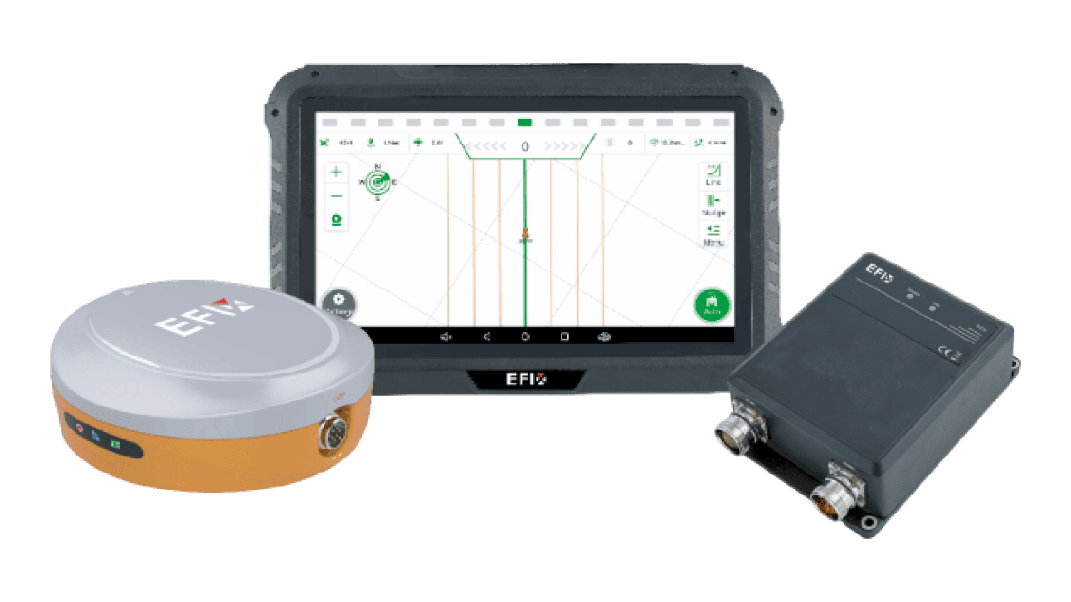
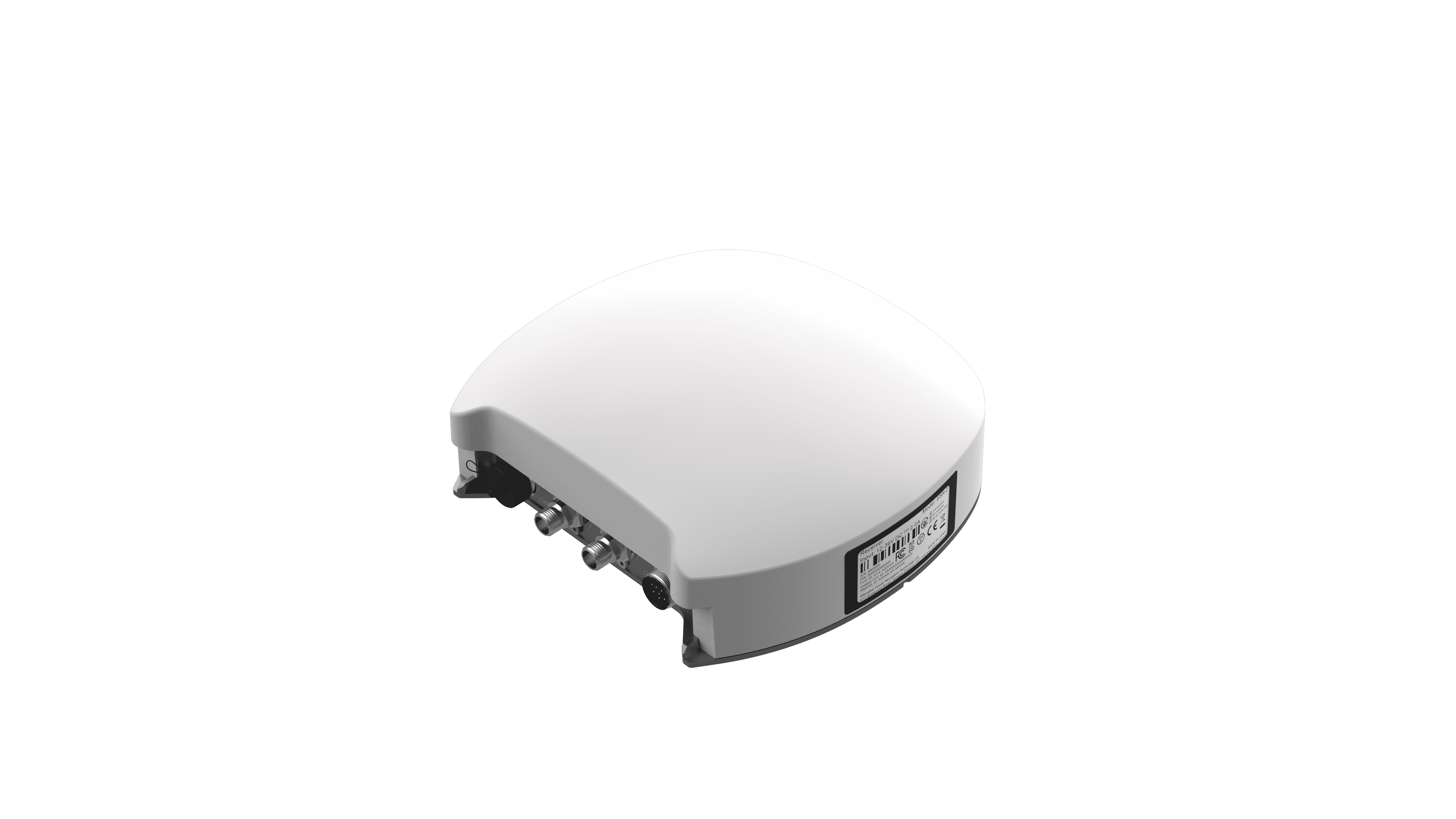
A tractor-mounted antenna and receiver collect satellite signals. For greater accuracy, the system can also receive correction data through radio, cellular networks, or satellite services, depending on its configuration and regional availability. Guidance software then uses the corrected position to display steering instructions or control automatic steering.
For more background, read How Is GPS Used in Agriculture? How Accurate Can It Be?.
Key Operational Benefits of Agriculture GPS Systems
• Precision and Waste Reduction
Consistent guidance helps reduce overlaps during tillage, planting, spraying, and fertilizing. It also helps prevent skipped areas, which can lead to uneven crop establishment or incomplete pest and weed control. GPS-guided machinery supports more accurate planting, fertilizing, and harvesting, helping reduce waste and improve efficiency.
For example, a sprayer following a precise guidance line can avoid re-spraying a headland or leaving untreated strips beside a tree line.
• Operator Fatigue Reduction
Steering a tractor along perfectly straight rows for hours is demanding, especially during long planting or spraying windows. A guidance display gives the operator a clear visual reference, while an auto-steering system can take over routine steering corrections. This can make long field days less tiring and help maintain more consistent passes.
• Extended Operational Hours
Satellite guidance does not depend on visible row markers, daylight, or perfect weather. With an appropriate system, operators can work more confidently in dust, low light, or at night—provided visibility, safety, and local regulations allow it. This can be especially valuable during short planting, spraying, or harvest windows.
Manual Guidance vs. Auto-Steering: What’s the Difference?
Both approaches use positioning information. The main difference is who executes the steering adjustments.
| Factor | Manual GPS Guidance | Auto-Steering |
| Steering | Operator follows a screen or lightbar | System adjusts steering along a selected path |
| Operator workload | Continuous manual correction | Less repetitive steering; supervision remains necessary |
| Path consistency | Strongly influenced by operator response | Depends on positioning, calibration, and steering performance |
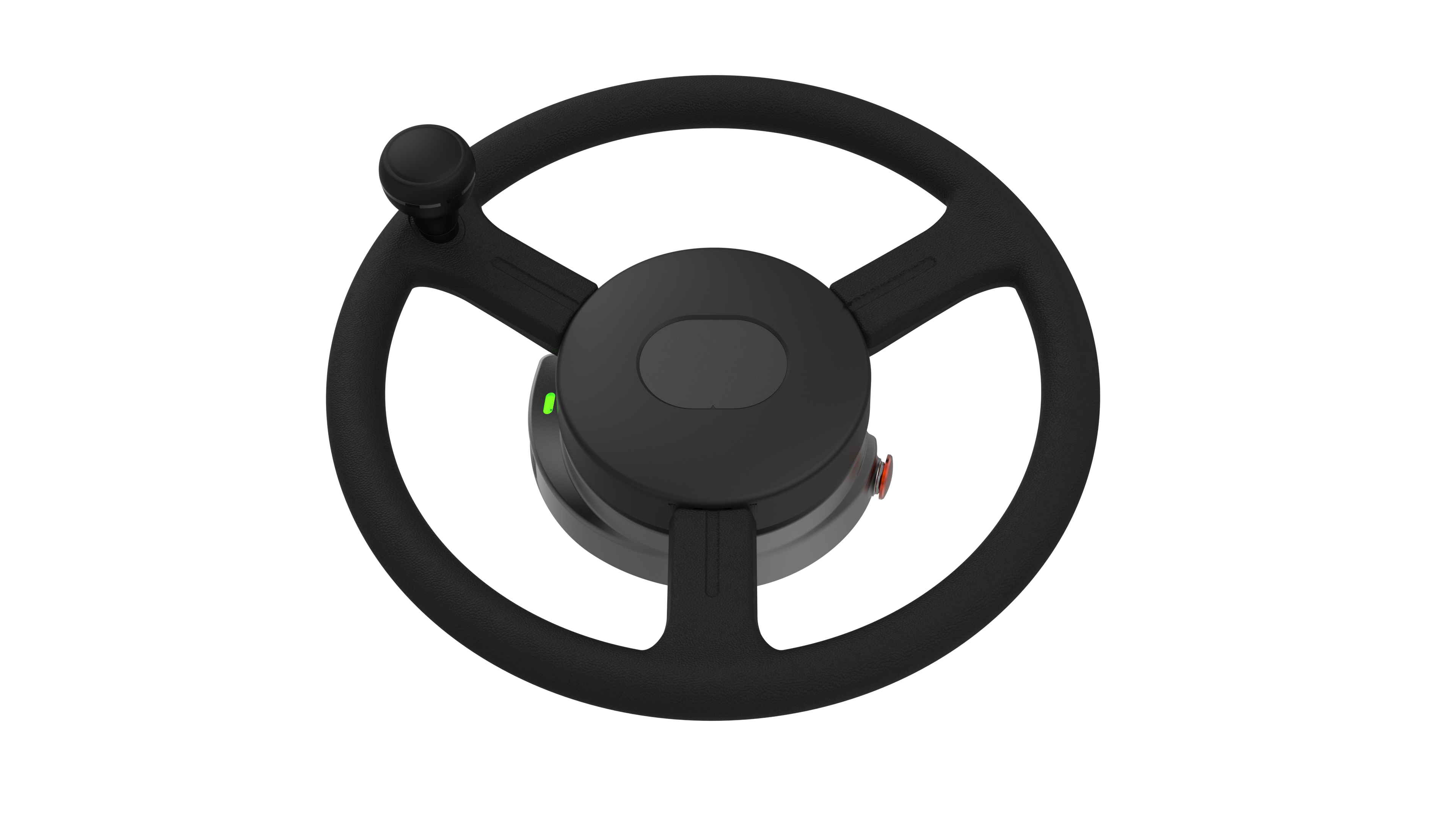
| Installation | Usually fewer steering-related components | Requires a compatible steering actuator or interface |
| Initial investment | Generally lower | Generally higher |
| Typical fit | Occasional work or operations with wider tolerances | Frequent passes, demanding alignment, or long working days |
Automatic steering does not automatically mean greater positioning accuracy. Correction quality determines the position available to the system; steering hardware and calibration influence how closely the machine follows the line.
The better option depends on required precision, farm size, operating frequency, labor conditions, and expected return. For a closer look at automatic steering, see How Does Tractor Auto Steer Improve Farming Efficiency?.

How to Choose the Best Tractor Guidance System for Your Farm
The best tractor guidance system is not necessarily the one with the highest specification sheet. It is the one that matches your crops, machinery, terrain, labor situation, and local connectivity conditions.
1. Determine the Positioning Accuracy You Actually Need
Different jobs require different accuracy levels:
• General tillage or broad spreading: Sub-meter to decimeter-level guidance may be adequate.
• Spraying, seeding, and controlled traffic: Higher accuracy helps reduce overlap and protect established rows.
• Precision planting, strip-till, inter-row cultivation, and guided implements: Centimeter-level RTK or comparable high-accuracy positioning is often more appropriate.
Do not assume that the highest accuracy is always the best investment. Choose the accuracy level that supports the work you actually perform.
2. Check Tractor and Machinery Compatibility
Confirm that the guidance system works with your tractor’s steering type, hydraulic system, electrical architecture, and cab space. For dealers and OEM partners, compatibility also includes whether the system can be configured across different machine models or integrated into a broader equipment platform.
If you plan to use the same system on several tractors, ask whether the display, receiver, steering motor, and mounting components can be transferred easily between machines.
3. Consider Field Shape, Terrain, and Operating Speed
Irregular fields, curved rows, terraces, waterways, tree lines, and rolling terrain can all affect guidance performance. A system should support the guidance patterns you need—such as straight AB lines, curves, circles, pivot patterns, and headland turns.
Operating speed matters too. Slow seeding and faster spraying place different demands on the steering response and positioning stability. EFIX eSteer20 Max is designed for speeds from 0.1 to 30 km/h, covering tasks from slow fieldwork to higher-speed spraying.
4. Evaluate Ease of Use and Installation
A guidance system should be simple for operators to learn and reliable in daily use. Look for:
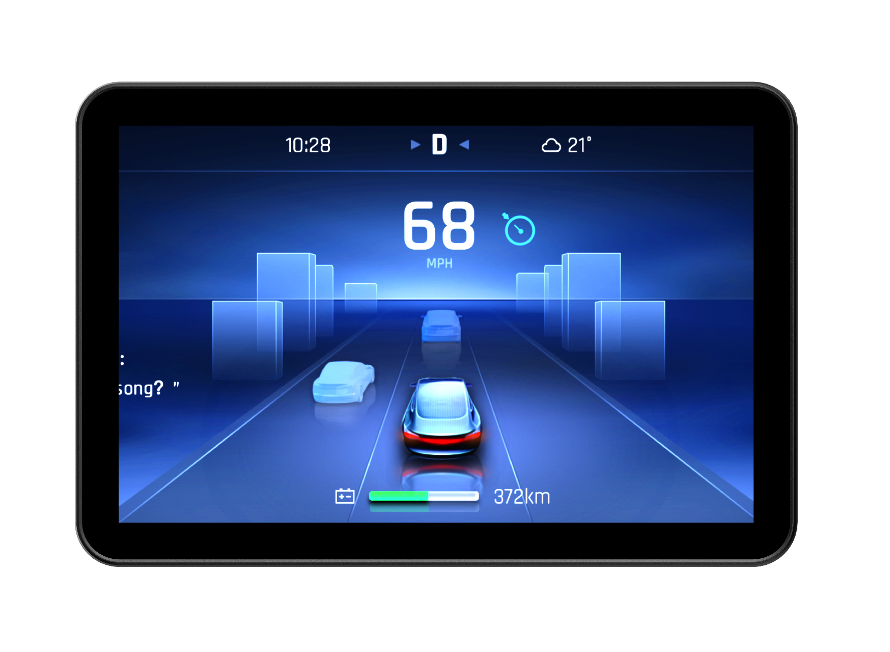
• A clear display that remains readable in bright sunlight
• Straightforward guidance-line creation and field management
• Simple calibration and setup
• Local installation, training, and technical support
• Software updates and data backup options
For mixed fleets or rental equipment, a system that is easy to move and reconfigure can deliver better long-term value.
5. Consider Connectivity and Correction Availability
RTK often provides very high accuracy of ±2.5 cm, but it may depend on a local base station, cellular network, or RTK correction service. In remote areas, poor cellular coverage or challenging terrain can affect availability.
Modern GNSS systems may support several correction methods, including SBAS, DGPS, RTK, PPP, and satellite-based augmentation services. The right choice depends on what is reliably available in your region.
6. Compare Total Value, Not Just Purchase Price
The lowest purchase price does not always mean the lowest cost of ownership. Consider installation, subscriptions, correction-service fees, support, training, upgrade options, and the potential savings from reduced overlap and more efficient fieldwork.
A system that integrates well with existing machinery and can expand later may deliver more value than a cheaper unit that cannot grow with the farm.
Common Mistakes to Avoid When Choosing a Tractor Guidance System
• Overbuying or Underbuying Accuracy
Buying more accuracy than the operation needs can increase cost without a meaningful return. Buying too little accuracy can limit the system’s usefulness for precision planting, spraying, or implement guidance. Match the accuracy level to the task.
• Ignoring Hardware Installation and Transferability
A guidance system is only useful if it fits the machine and can be installed properly. Check steering compatibility, display placement, wiring, antenna mounting, and whether the system can be moved to another tractor later.
• Neglecting ISOBUS and Implement Control Integration
ISOBUS helps compatible terminals and implements exchange information, but the label alone does not guarantee every function. Check the specific combination for implement display, section control, and prescription-based application. Where products are listed, the AEF ISOBUS Database helps identify supported combinations and functions.

Information from https://www.aef-online.org/aef-tour/
• Failing to Consider Signal Loss and Local Terrain
Trees, steep slopes, buildings, and field edges can reduce satellite signal quality. A system that performs well in open, flat fields may need additional consideration in orchards, hilly terrain, or areas with limited correction coverage. Multi-constellation GNSS support and flexible correction options can improve resilience, but results still vary by location.
EFIX Offers Industry-Leading Precision GNSS Guidance Systems
At EFIX, we develop precision-agriculture solutions for accurate fertilization, intelligent irrigation, and efficient harvesting. Serving customers across more than 140 countries, our solutions cover GNSS positioning, auto-steering, application control, and OEM integration, helping agricultural businesses bring precision technology into everyday operations.
eSteer20 Max: More Than Automatic Steering
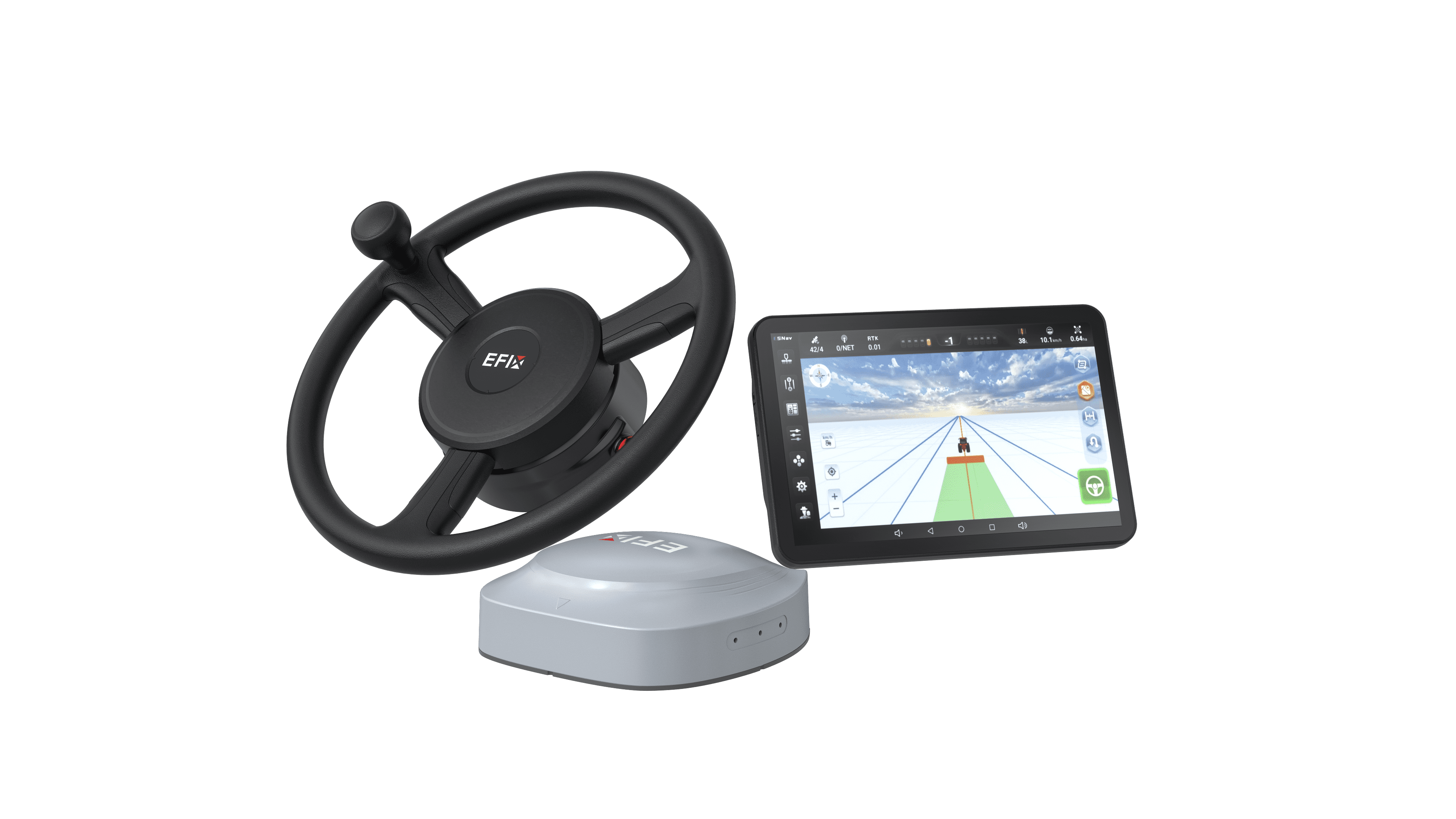
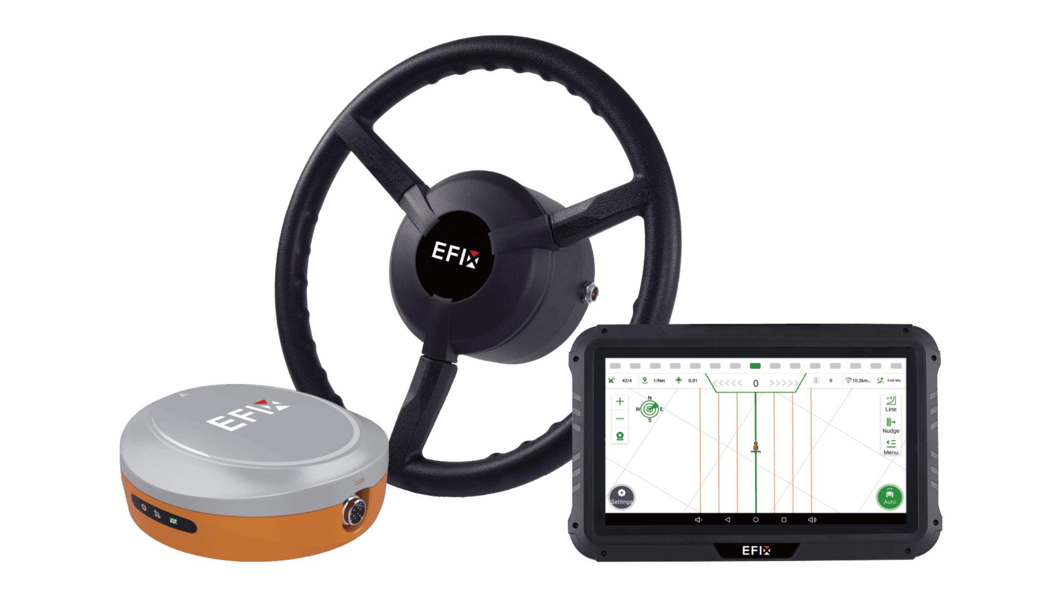
The EFIX eSteer20 Max combines precise guidance, a large display, and implement-control capabilities for farmers seeking a more comprehensive precision-agriculture platform.

• 12.1-inch display: A 1280 × 800 resolution and 750-nit brightness provide a spacious interface for viewing guidance information and operating compatible implements from one terminal.
• Centimeter-level precision: With suitable RTK corrections and proper installation and calibration, the system supports ±2.5 cm guidance accuracy for operations such as planting and seeding. Actual field performance depends on signal conditions, machinery setup, and terrain.
• Multi-constellation GNSS: Support for GPS, BeiDou, GLONASS, Galileo, and QZSS enables positioning beyond GPS alone. Available positioning modes include SPP, DGPS, RTK, H-PPP, and PointSky.
• Flexible correction options: PointSky satellite-based correction offers an alternative to local-base or network RTK, with a specified convergence time of less than five minutes. Regional service availability should be confirmed.
• Broad tractor compatibility: Compatible with most mainstream tractors on the market, the motor-driven steering system offers a practical upgrade path for existing machinery and mixed-brand fleets. Confirm the mounting kit and installation requirements for each model.
• Support across seasonal operations: A specified speed range of 0.1–30 km/h accommodates slow fieldwork and faster operations such as spraying. Multiple guidance patterns and automatic U-turn modes help operators manage different field layouts.
• Integrated implement control: ISOBUS UT, SC, and GEO functions support compatible implement operation, automatic section control, and georeferenced application tasks. Extended capabilities include visual, implement, and row guidance, depending on the selected configuration.
Support for Farmers, Dealers, and OEM Partners
EFIX supports adoption through technical documentation, installation and calibration tutorials, and localized service and on-site assistance where available. For machinery manufacturers, our OEM cooperation options include pre-installation and integration of components, software, and algorithms.
The best tractor GPS/GNSS guidance system starts with your farm’s requirements: its operations, machinery, terrain, and correction coverage.
Explore EFIX precision autosteer solutions and contact our team for a custom quote tailored to your farm machinery or OEM project.