Modern agriculture must produce more food while managing limited land, water, labor, and inputs. Digital farming offers a practical path forward: by collecting and interpreting field data, farms can make timely, site-specific decisions that improve productivity while reducing waste.
This article explains how digital farming technology and precision agriculture tools support sustainable data farming—from reducing fertilizer and water waste to protecting soil health and lowering emissions. It also outlines how farm owners, machinery manufacturers, dealers, and channel partners can begin adopting these practices.

The Trend of Sustainable Data Farming in 2026
Sustainable data farming is the continuous collection of soil, weather, crop-health, and machinery data, then converting that information into actionable, zone-specific decisions. Instead of treating an entire field the same way, farmers can respond to real differences in soil fertility, moisture, crop vigor, and terrain.
In 2026, sustainable agriculture increasingly goes beyond organic inputs alone. It combines AI, IoT sensors, satellite imagery, precision land management, and carbon accounting to help farms use resources more efficiently. Research and industry trend reports describe this shift as a move toward climate-smart, data-enabled farming systems that balance yield, resilience, and environmental impact.
The pressure to adopt these practices is global, but its form varies by region. The FAO warns that feeding a growing population will require agriculture to produce more food, feed, and fiber while using land, soil, and water more responsibly. It also emphasizes that there is no single solution: sustainable practices must fit local soil, water, climate, and farm-scale conditions.
For many farms, the business case is becoming as important as the environmental one. Climate volatility, water constraints, rising input costs, and tightening sustainability expectations make it harder to rely on fixed schedules or uniform field applications. Data helps farms identify where resources are truly needed—and where they are being wasted.
Major Digital Farming Technology to Transform Sustainable Farming
Digital farming works when field data leads to a specific action: steering a machine more accurately, changing an application rate, adjusting irrigation, or documenting what was done. The following precision agriculture technologies and tools turn that data into practical field operations.
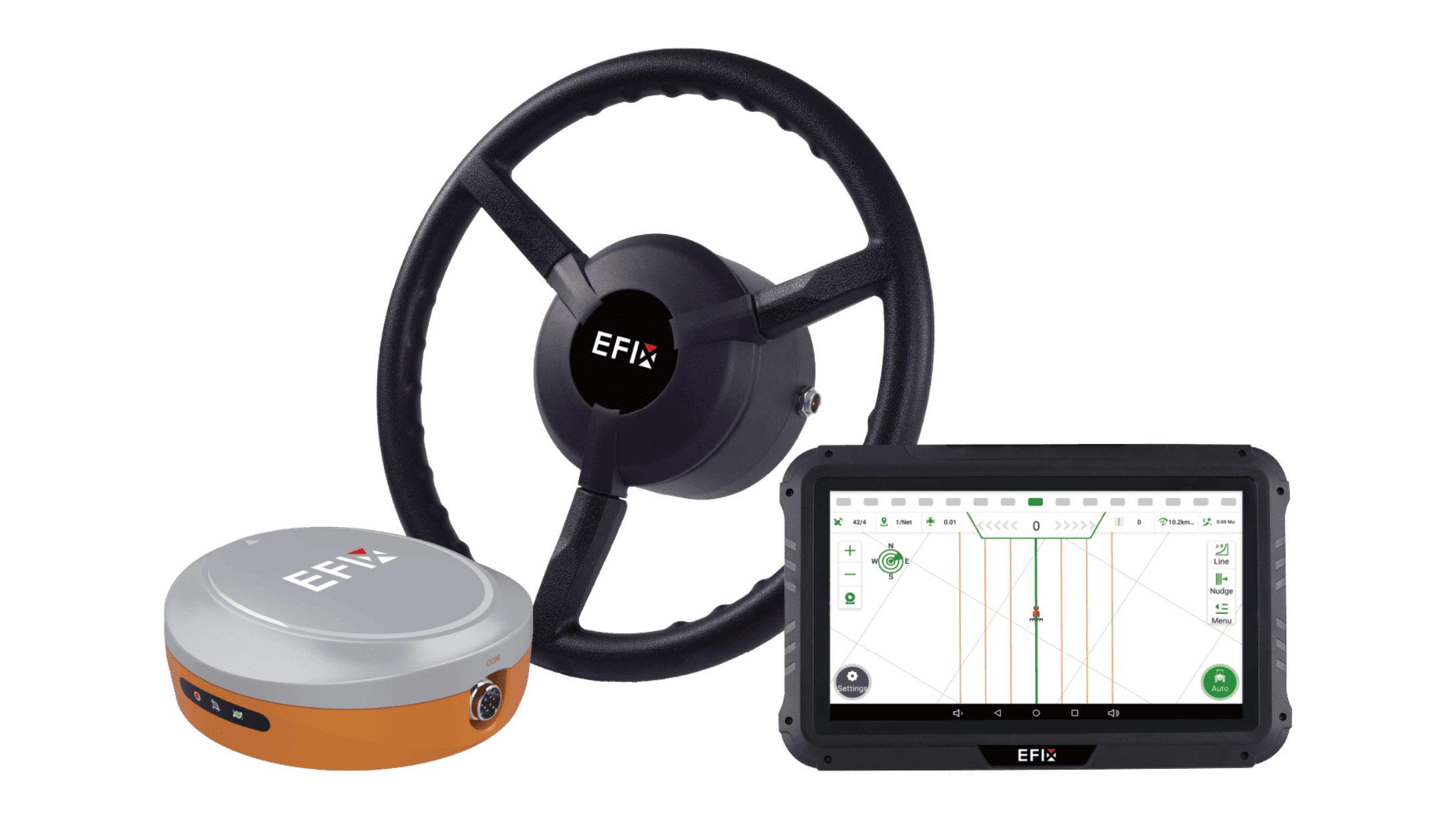
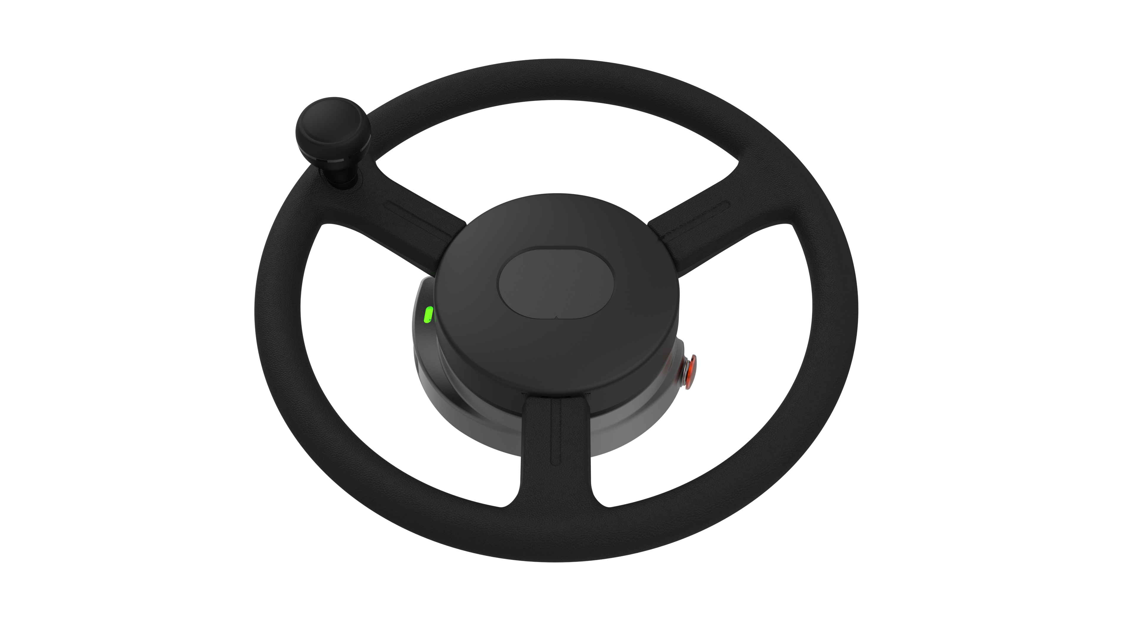
GNSS auto-steering guides tractors, sprayers, seeders, and harvesters along repeatable paths using satellite positioning. Operators can create AB lines, follow curved or headland patterns, and maintain consistent spacing between passes.
This reduces overlap during spraying, fertilizing, seeding, and tillage. Fewer unnecessary passes also help limit fuel use, soil compaction, and operator fatigue. For irregular fields, terraces, or long working days, consistent guidance makes precision easier to maintain.
Leading providers in this field include Trimble and EFIX, whose auto-steering systems use GNSS positioning to help operators maintain accurate, repeatable paths during field operations.

VRA uses prescription maps to change the application rate of seed, fertilizer, lime, or crop protection products across different field zones. A farm may apply more nitrogen where crop vigor is low and less where soil tests or yield maps show adequate fertility.
The workflow is practical: collect field data, create a prescription map, upload it to a compatible controller, apply the product, and save an as-applied record. That record then supports future planning, input reconciliation, and compliance documentation.
3. Remote Sensing: Satellite Imagery and Drones
Satellite imagery and drones reveal variation that is difficult to see from the cab. Multispectral indices such as NDVI can highlight differences in canopy vigor, while moisture-related indices can point to possible water stress.
A grower might use imagery to locate patches of weak growth, then scout those areas to determine whether the cause is compaction, drainage, disease, pest pressure, or nutrient deficiency. Drones can provide higher-resolution views for row crops, orchards, and smaller fields, helping direct scouting and targeted treatment rather than whole-field applications.
4. Soil and Environmental Sensors
Soil and weather sensors measure conditions such as moisture, temperature, electrical conductivity, rainfall, and humidity. A soil-moisture sensor can show whether the root zone actually needs irrigation, rather than relying only on a fixed schedule.
These readings help farms time irrigation, avoid waterlogging, plan field access, and coordinate nutrient applications with crop demand. Sensor placement matters: data from representative zones gives more useful guidance than a single reading for an entire field.
5. Farm Management Software and Data Platforms
Farm management software organizes field boundaries, input records, machinery data, weather observations, scouting notes, and yield results in one place. It allows a farm to compare planned versus actual applications, review seasonal performance, and prepare records for audits or customer requirements.
For example, a manager can combine yield maps, soil-test results, and as-applied fertilizer records to plan next season’s nutrient strategy. This turns individual field operations into a repeatable, improvable management process.
6. IoT-Connected Machinery
IoT-connected machinery shares operational data such as location, working status, area covered, fuel use, and task progress. Depending on configuration, it may also exchange job files and application instructions between the farm management system, tractor, and implement.
With ISOBUS-compatible systems, a prescription map can be imported to the task controller, while completed work and machine data can be exported as documentation. This helps teams coordinate equipment, verify that the intended rate was applied, and maintain traceable field records.
Together, these tools create a practical cycle: observe field variation, decide what each zone needs, execute the task precisely, and use the resulting data to improve the next decision.

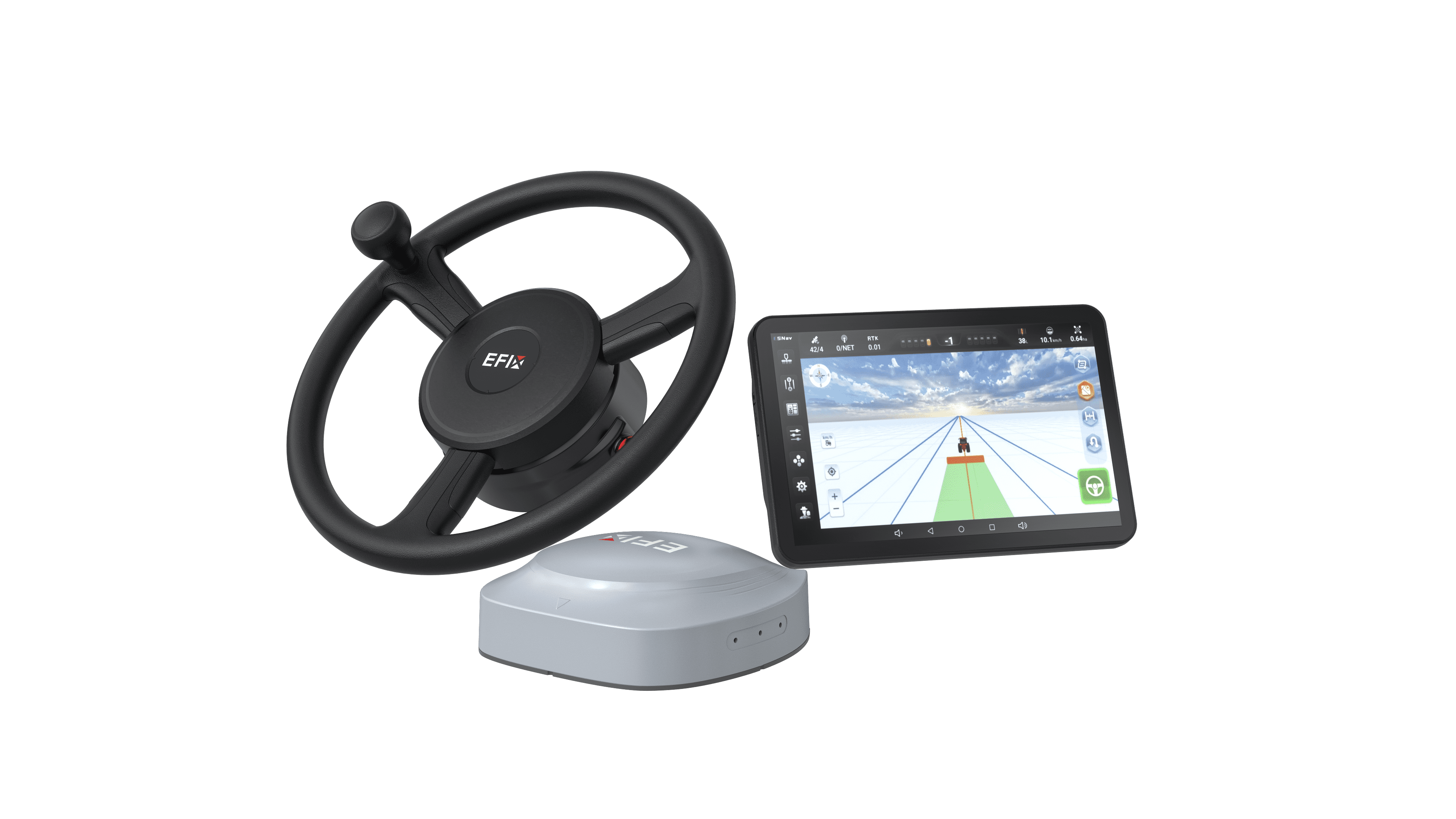
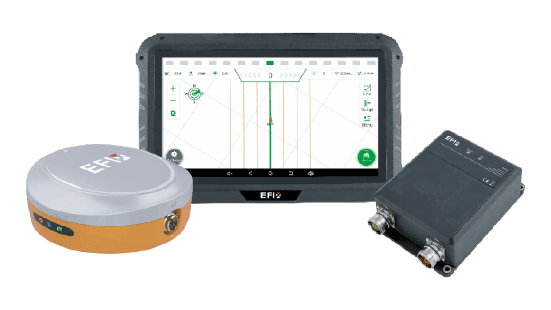
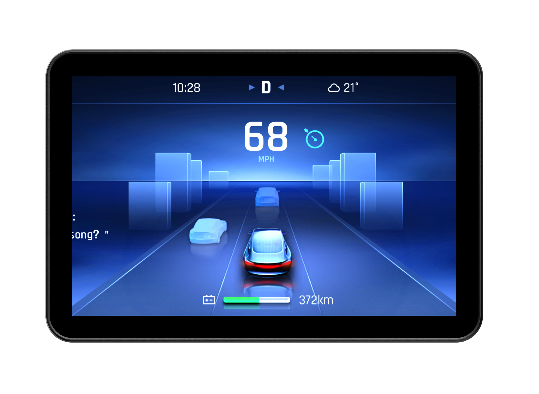
Picture shown: The eSteer20 Max auto-steering system integrates ISOBUS functions, including UT, SC, and GEO, into a single terminal for implement control.
Key Benefits of Digital Technology in Sustainable Farming
●Reduced Input Waste: Guidance, section control, and VRA address unnecessary applications through different, complementary functions.
●Lower Carbon Footprint: Avoiding unnecessary travel can reduce diesel use. Better nutrient management may also reduce fertilizer-related emissions, depending on local conditions.
●Water Conservation: Combining soil moisture data with weather and crop requirements helps avoid unnecessary irrigation.
●Soil Health Preservation: Repeatable guidance can support controlled traffic systems when machinery widths and traffic plans align, limiting the area exposed to compaction.
●Improved Yield-To-Resource Ratio: Matching inputs to crop needs can improve output per unit of water, fertilizer, or fuel without assuming that yields always increase.
●Better Traceability and Compliance: Location-linked records help document what was applied, where, and when. Reporting must still meet the relevant local or customer requirements.
Challenges of Digital Technology in Sustainable Farming
●High Upfront Investment
Hardware, installation, subscriptions, correction services, and maintenance all affect ownership costs. Evaluate likely savings against farm size, annual operating hours, and existing machinery.
●Technical Complexity and Skills Gaps
Operators need practical training in calibration, guidance setup, data interpretation, and troubleshooting. FAO identifies investment costs and digital skills gaps as important adoption barriers in its case studies of developing agricultural markets.
●Rural Connectivity Gaps
Reliable mobile coverage is not universal. Check which functions require a connection, what works offline, and how correction signals are delivered locally.
●Interoperability and Data Integration
Shared connectors or an ISOBUS label do not guarantee every function will work together. Confirm the terminal, implement, supported functions, file formats, and software versions before purchasing or integrating equipment.
How EFIX Provides Sustainable Digital Farming Solutions
EFIX is a global precision agriculture technology innovator offering GNSS auto-steering systems, reference stations, and OEM integration solutions that enable more accurate, intelligent, and efficient agricultural operations, from fertilization and irrigation to harvesting. Serving customers across 140+ countries, we help growers and machinery partners put precision technology to work.
Our solutions support sustainable digital farming through:
●More precise field operations: Our auto-steering systems provide ±2.5 cm guidance accuracy. Implement guidance, tramlines, and automatic turns help reduce overlapping passes and unnecessary travel. With compatible implements, ISOBUS section control and geographic task control support targeted application and reduced input waste.
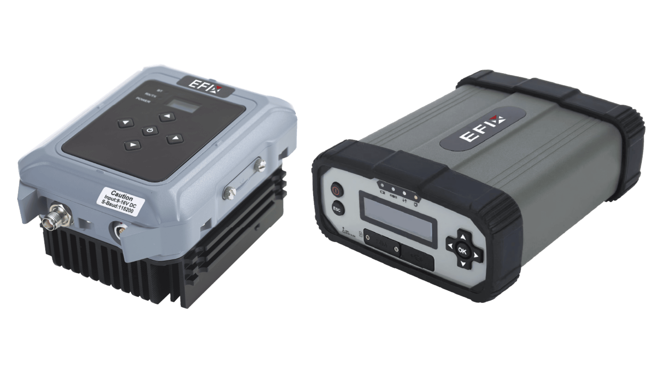
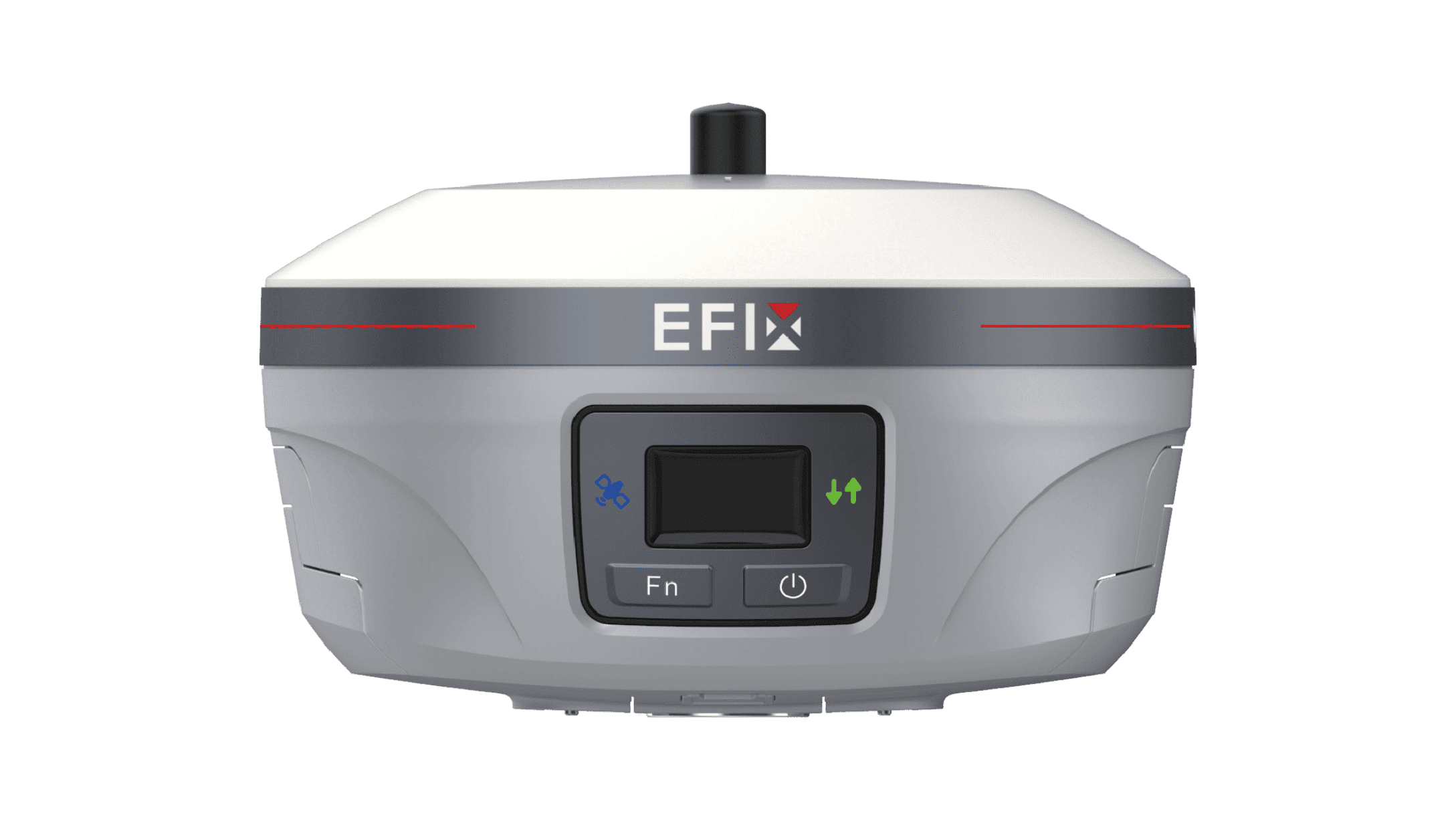
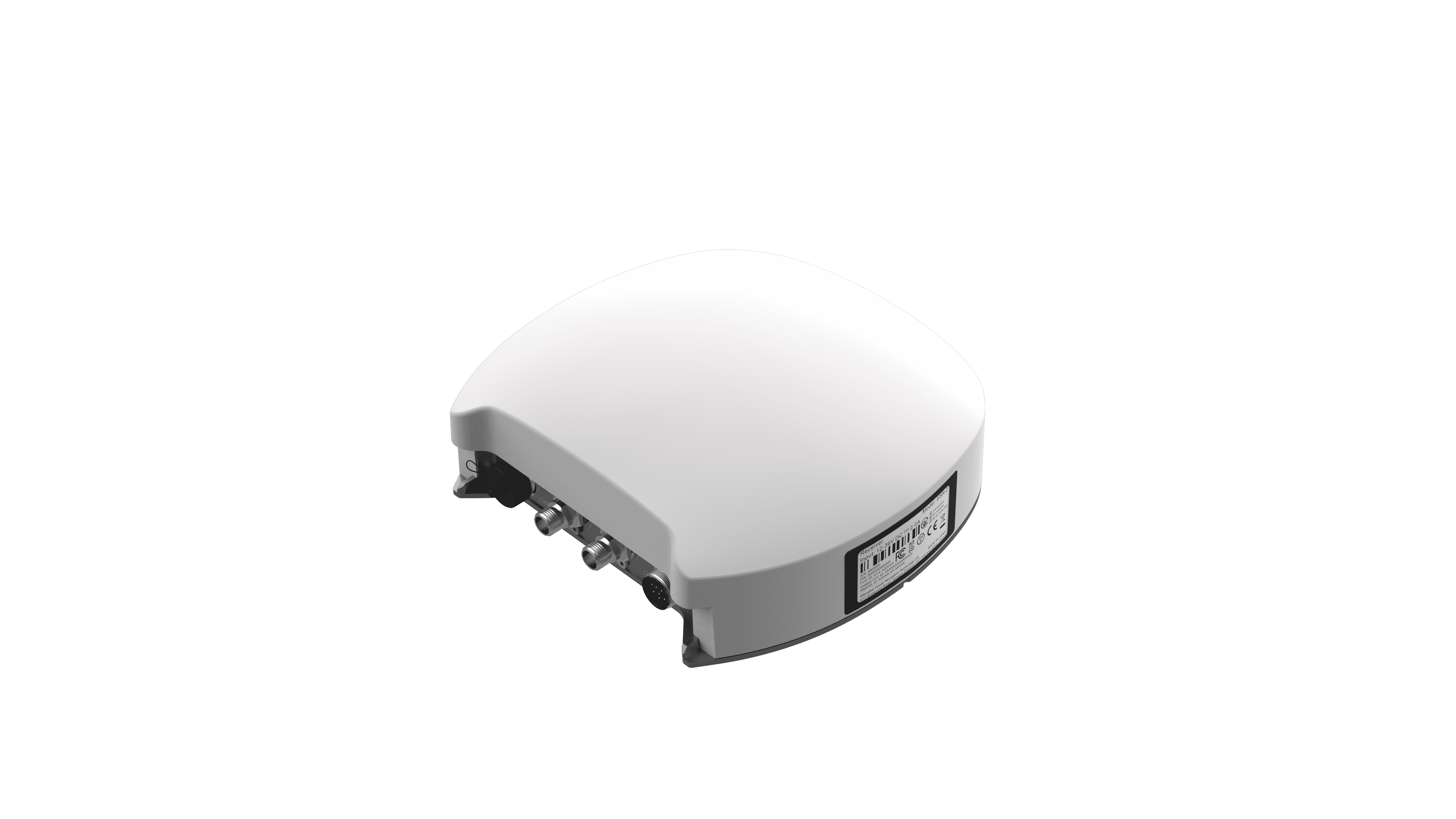
●Positioning for local conditions: Our GNSS reference stations deliver correction data through radio links, supporting precise operations without relying on mobile connectivity within the available radio coverage.
●Flexible machinery integration: Our OEM solutions combine electric or hydraulic steering with hardware, software, and algorithms, helping manufacturers integrate precision capabilities into agricultural machinery.
Localized service, on-site support, installation guides, and calibration tutorials help operators adopt and maintain these capabilities.
By connecting accurate positioning with controlled field execution, we help farmers improve resource efficiency—a practical foundation for balancing profitability with environmental stewardship.
Start Your Sustainable Data Farming Journey
Sustainable data farming is about making better decisions with the resources already available. Digital farming technology helps farms reduce input waste, conserve water, protect soil, improve traceability, and balance productivity with environmental responsibility.
The best way to begin is to assess your current operation: identify where overlap, input waste, water use, or data gaps create the greatest cost. Then choose precision agriculture tools that fit your crops, machinery, connectivity, and local conditions.
If you need to reduce overlap, improve guidance accuracy, integrate precision technology into your machinery, or expand into new markets, contact EFIX to discuss a solution for your next season.