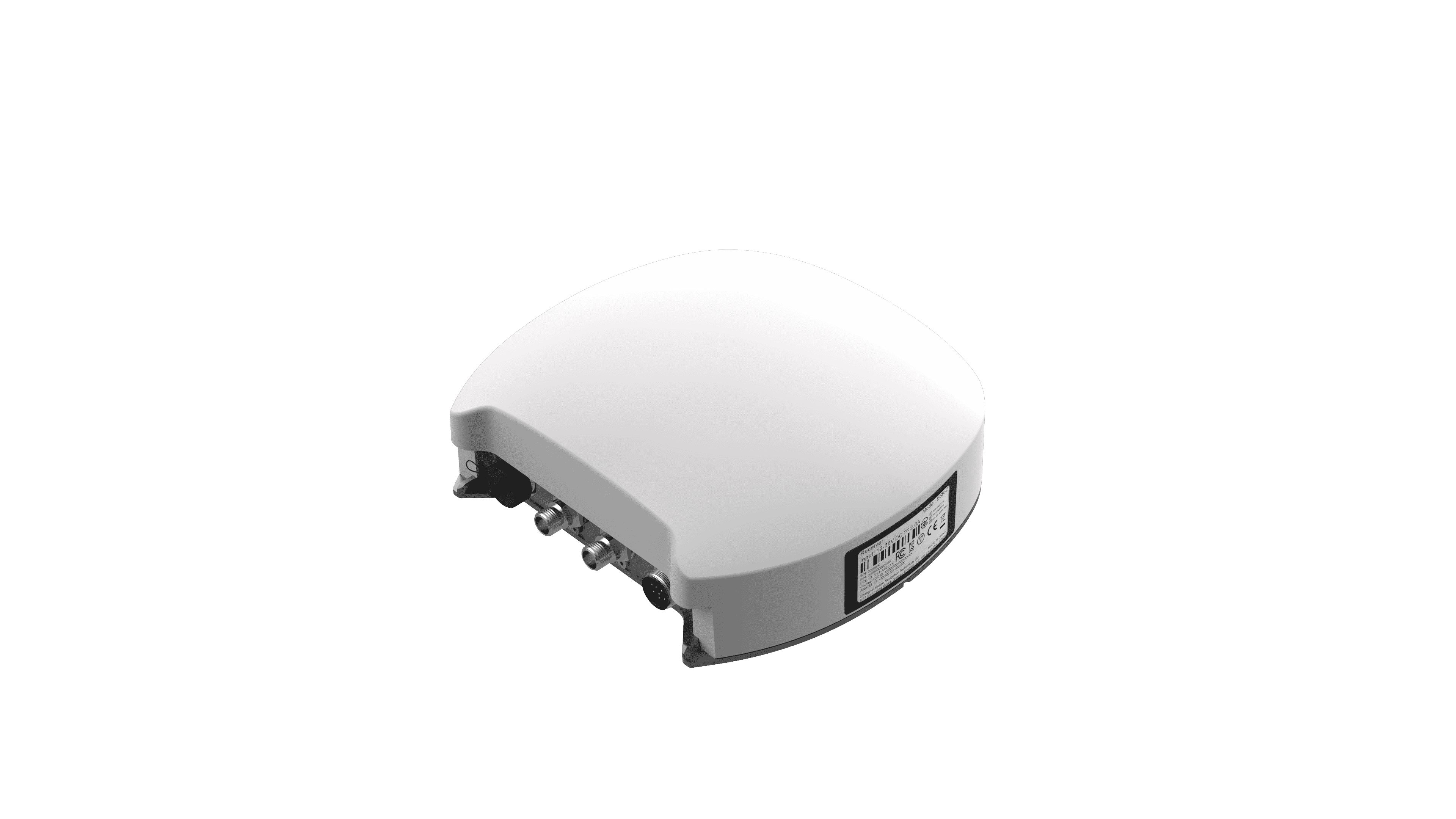
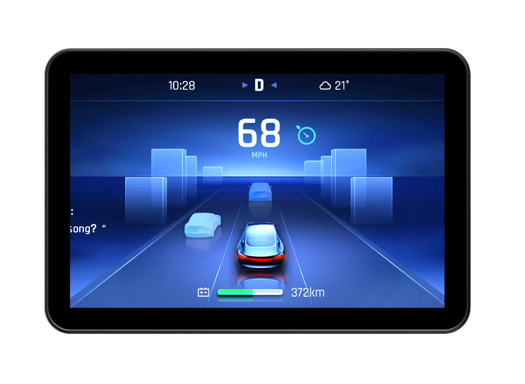
For decades, the promise of precision agriculture has been clear: use data to manage fields not as a single unit but as a collection of unique zones. In 2026, this concept has matured beyond experimental plots. Precision agriculture technologies have evolved into the operational backbone for farms aiming to boost productivity and profitability, shifting from "nice-to-have" tools to essential infrastructure.
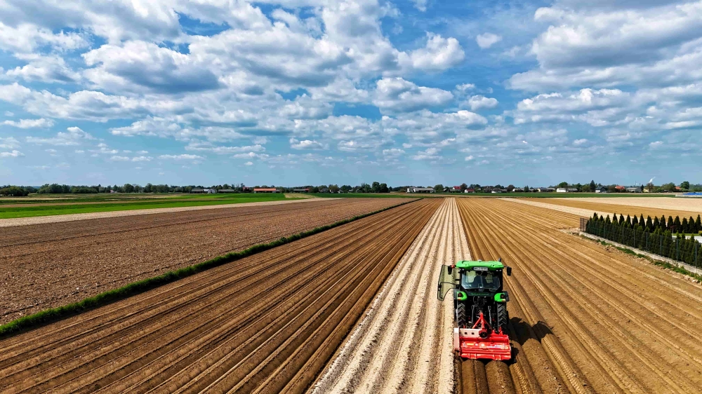
Major Precision Agriculture Technologies in 2026
The current landscape is defined by systems that work in concert, each playing a distinct role in data collection, analysis, and field execution.
1. GNSS and RTK Guidance Systems
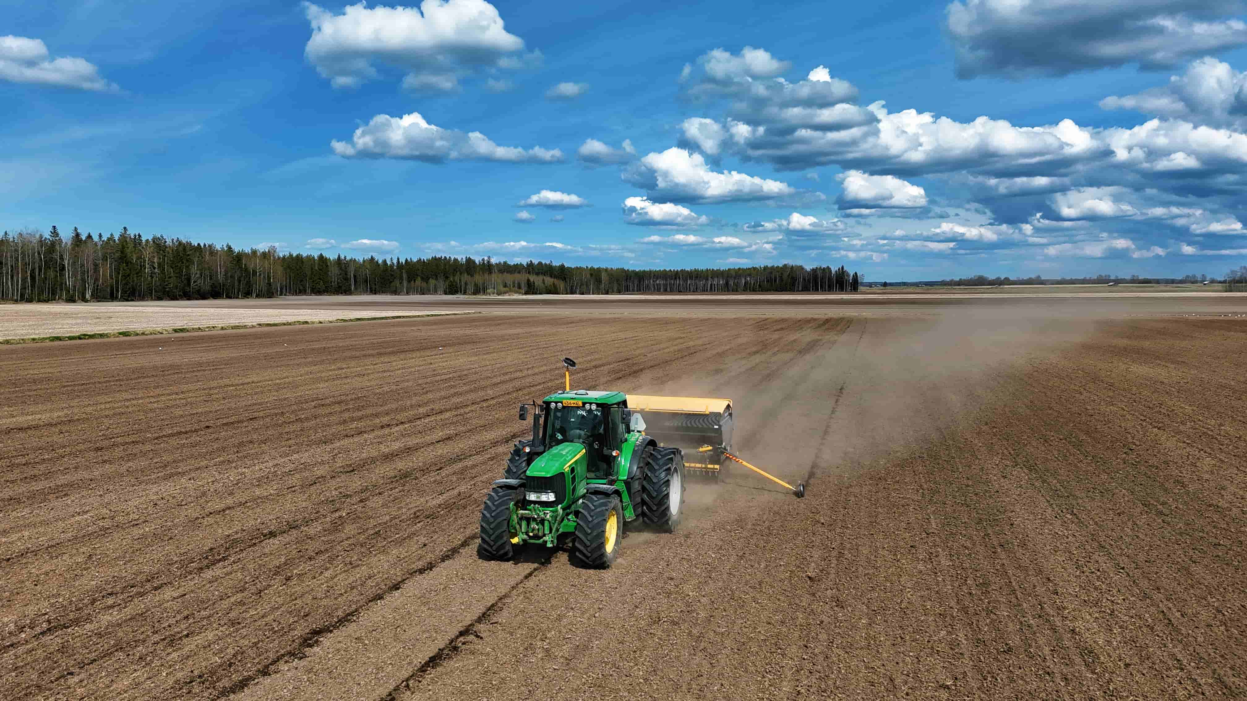
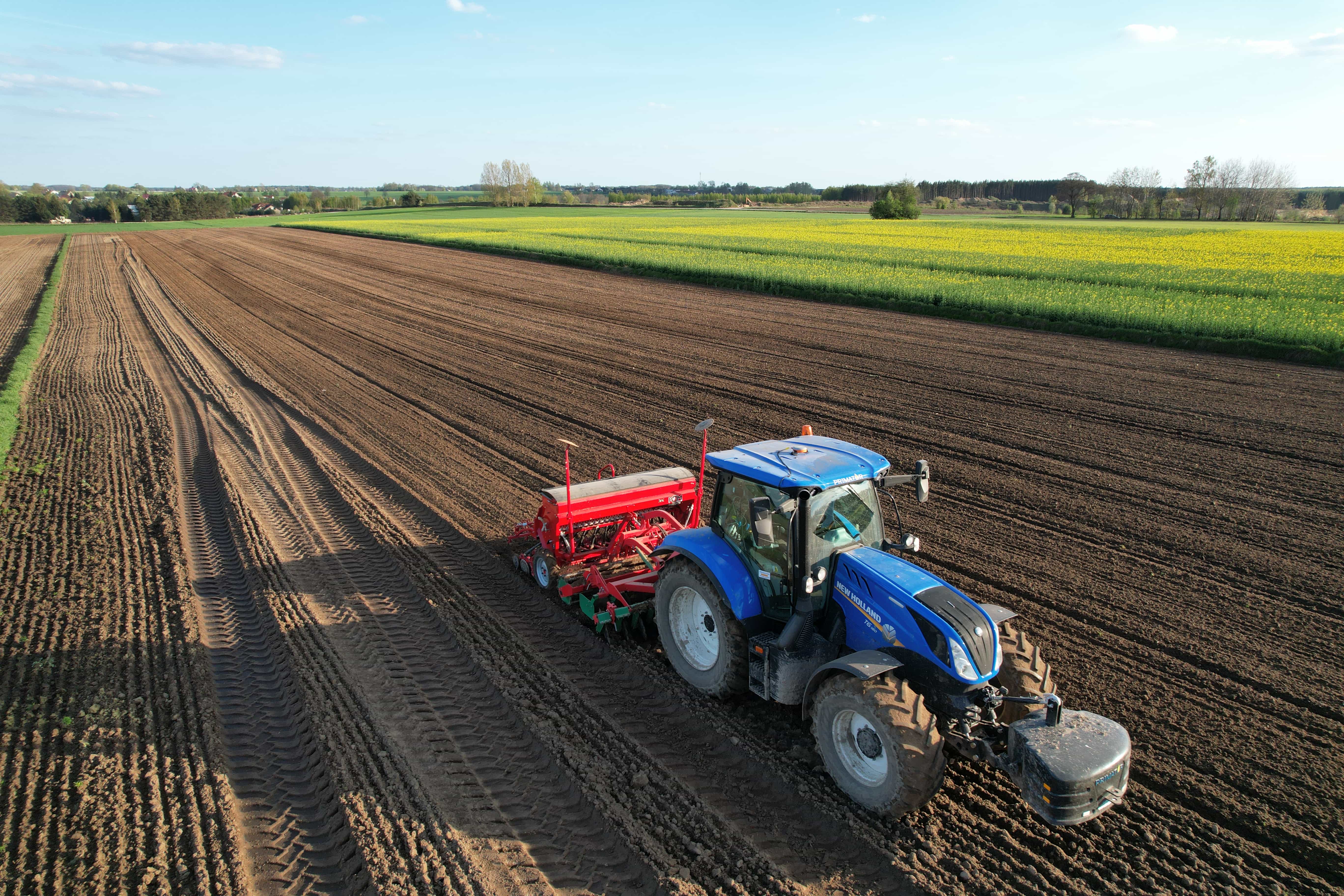
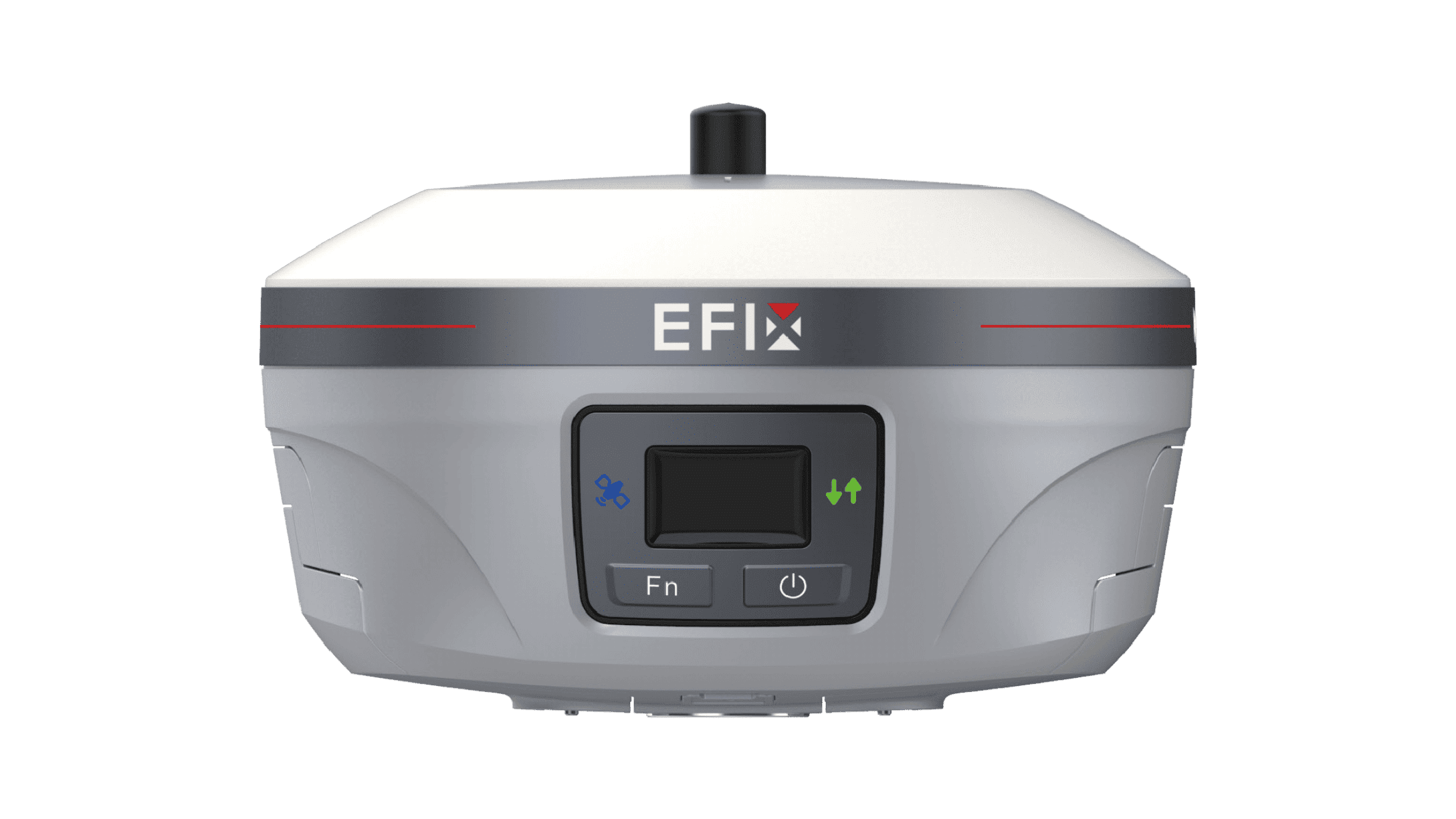
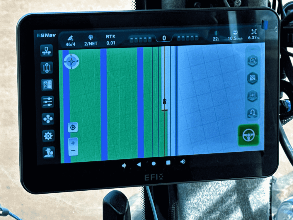
Global navigation satellite systems (GNSS) and real-time kinematic (RTK) positioning form the foundation of modern field operations. Today’s systems leverage multi-constellation support (including GPS, Galileo, and BeiDou) to maintain centimeter-level accuracy (within ±2.5 cm) even in challenging terrain. This precision enables auto-steering and implement guidance, drastically reducing overlaps, skips, and associated fuel and input waste.
2. Drones and Satellite Remote Sensing
Drones and high-resolution satellites act as the "eyes in the sky." Equipped with multispectral, thermal, and RGB sensors, they capture data that reveals early-stage crop stress—such as water deficiency, nutrient gaps, or pest outbreaks—often invisible to the naked eye. These tools generate field health maps that allow farmers to pinpoint problem areas for targeted intervention, reducing the need for manual scouting.
3. Internet of Things (IoT) Sensors and Smart Devices
In-field IoT sensor networks provide continuous, ground-truth data. These devices monitor parameters like soil moisture, temperature, pH, and nutrient levels in real time. When integrated with cloud platforms, this data can directly trigger smart irrigation valves or fertigation systems, enabling precise water and nutrient management at a per-zone level.
4. Variable Rate Technology (VRT) and Smart Application Systems
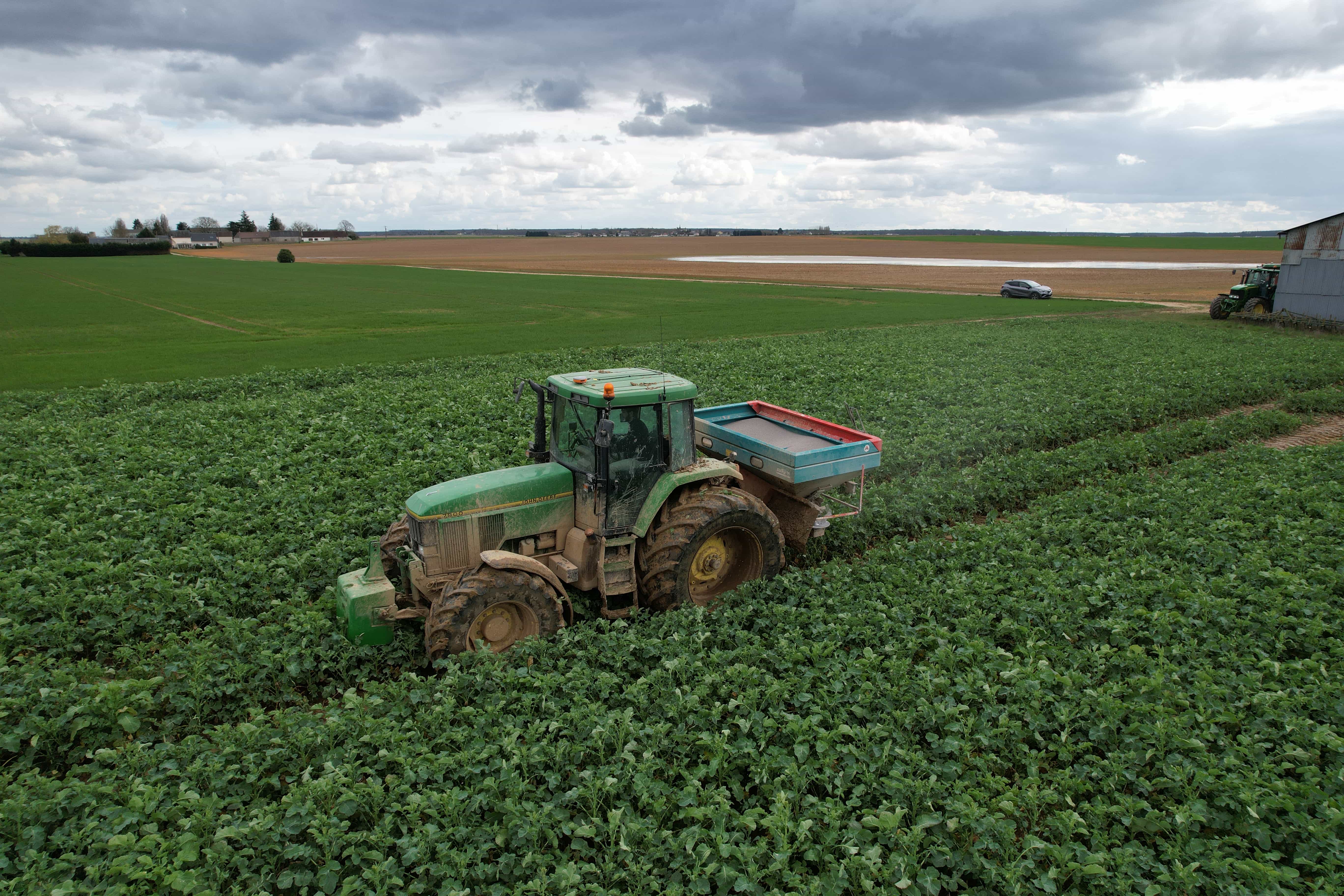
VRT replaces the "one-rate-fits-all" approach. By using prescription maps (created from satellite or drone data) or real-time sensors, application equipment adjusts seeding rates, fertilizer, and chemical inputs on the go. This ensures inputs are applied only where needed and in the optimal quantity.
For a deeper look at implementation strategies, see our guide: What Is VRA (Variable Rate Application)? A Practical Guide for Precision Farming.
5. AI, Machine Learning, and Analytics Platforms
In 2026, artificial intelligence serves as a decision-support partner. Machine learning platforms fuse historical yield data, weather patterns, soil maps, and real-time imagery to generate yield predictions, disease risk alerts, and resource allocation recommendations. These tools help distill complex datasets into clear, actionable advice.
6. Robotics and Autonomous Machinery
Autonomous systems are increasingly handling labor-intensive tasks. From self-driving tractors for tillage to robotic weeders that use AI vision for targeted elimination, these machines operate with minimal human intervention. Their adoption helps address labor shortages while improving the consistency and timeliness of field operations.
Precision Agriculture Technologies Applied Across the Crop Cycle
The real-world value of these tools becomes clear when mapped to the key stages of crop production.
1. Pre-season: Planning and Field Mapping
Before planting, farmers integrate historical yield data, soil tests, and satellite or drone imagery to assess field variability. This data is used to create management zones and generate prescription maps that guide variable-rate planting and input applications. High-accuracy 3D land leveling, guided by RTK, may also be used to prepare a uniform seedbed.
2. Planting: Precision Seeding and Population Control
During planting, GNSS-guided equipment uses prescription maps to execute variable-rate seeding. This means higher populations in productive zones and lower rates in less fertile areas, optimizing seed use. Automatic section control prevents overlaps and skips at headlands and irregular boundaries, ensuring every pass is efficient.
3. In-season: Crop Monitoring and Input Management
Throughout the growing season, drones, satellites, and IoT sensors provide continuous monitoring. AI-powered models analyze this data to generate variable-rate application prescriptions for fertilizer and crop protection products. Targeted spraying systems, using computer vision, can identify weeds in real time and apply herbicide only where needed, reducing overall chemical use.
4. Irrigation and Water Management
Soil moisture sensors, weather stations, and evapotranspiration models feed data into AI-driven irrigation scheduling systems. Variable-rate irrigation allows for differential watering across a field based on topography and soil type. This approach helps align water application precisely with crop needs, supporting conservation and reducing energy costs.
5. Harvest and Postharvest Analytics
Modern harvesters equipped with yield monitors and GNSS create detailed yield maps, highlighting productivity variability across the field. This data, after post-processing to remove inaccuracies, becomes the cornerstone for evaluating the season’s management decisions and refining next year’s prescription maps. For specialty crops, AI-powered robotic harvesters can assess ripeness and sort produce during picking.
Key Benefits of Precision Agriculture Technologies
The adoption of these technologies offers a range of tangible benefits.
1. Higher Yields and Better Crop Quality
By optimizing the placement and timing of seeds, water, and nutrients, precision management helps maximize a field’s genetic potential. Studies from various production systems indicate that practices like precision planting and smart irrigation can contribute to significant yield increases. Furthermore, by managing proper inputs to meet specific growth-stage demands—such as applying nitrogen to boost grain protein—farmers can enhance crop quality and market value.
2. Reduced Input Costs and Waste
Variable-rate application and automatic section control directly reduce input waste. Fertilizer, seed, and crop protection products are applied only where and when needed. In addition, fuel consumption is lowered through optimized field paths. In irrigation, data-driven scheduling can lead to substantial water savings compared to conventional timers or manual estimates.
3. Improved Environmental Sustainability
Precision application of fertilizers and pesticides reduces the risk of runoff into waterways. By applying inputs at precise rates and locations, farmers can minimize the environmental footprint of their operations. Additionally, reducing fuel consumption and optimizing nitrogen use can contribute to lower greenhouse gas emissions per unit of production.
4. Labor Efficiency and Farm Management
Automation and guidance systems reduce the physical and cognitive demands on operators. Auto-steering reduces driver fatigue, while drones and sensors automate scouting tasks. Furthermore, centralized data platforms allow farm managers to monitor operations remotely and make informed decisions without being in the field constantly, making it easier to manage larger or more dispersed operations.
5. Accessibility for Different Farm Sizes
While upfront costs remain a consideration, access to precision farming technologies has broadened. Many farmers use "Robot-as-a-Service" (RaaS) models, seasonal rentals, or cooperative ownership to access advanced equipment. Similarly, software solutions like satellite-based crop monitoring and smartphone apps offer affordable entry points for smaller operations to begin adopting data-driven practices.
Challenges and How Farmers Overcome Them
Adoption is not without its hurdles. However, practical solutions are emerging.
1. Upfront Costs and ROI Concerns
The initial investment in hardware, software, and installation can be significant. For farmers uncertain about returns, the risk can delay adoption.
How farmers are addressing it: Many are using modular investment strategies—starting with a GNSS guidance system to realize immediate fuel and input savings, then expanding to VRT. Others leverage equipment rental, cooperative sharing, or government cost-share programs focused on conservation to lower initial costs.
2. Data Management and Skill Gaps
The volume and variety of data generated can be overwhelming. Integrating files from different equipment brands and translating data into actionable plans requires specific skills.
How farmers are addressing it: Technology providers are simplifying platforms. AI-driven interfaces are emerging that translate complex data into straightforward, conversational recommendations (e.g., “Apply nitrogen to Zone 2 tomorrow”). Many farmers also rely on trusted agronomists, dealer networks, and extension services for training and data interpretation.
3. Connectivity and Interoperability
Rural areas may lack consistent high-speed internet, hindering real-time data transfer. Additionally, equipment from different manufacturers does not always communicate seamlessly.
How farmers are addressing it: For connectivity, many utilize satellite-based correction services (like EFIX’s PointSky) that do not rely on cellular networks. “Edge computing” allows devices to process data locally and sync later. For interoperability, the ISOBUS (ISO 11783) standard has become critical, enabling tractors and implements from different brands to share a single display and control functions like section control and variable-rate application.
Learn how ISOBUS simplifies equipment integration: What is ISOBUS? A Comprehensive Guide to Precision Farming Connectivity.

Picture shown: EFIX eSteer 20 Max working with VALTRA tractor
EFIX: Precision GNSS Guidance Built for Real-World Operations
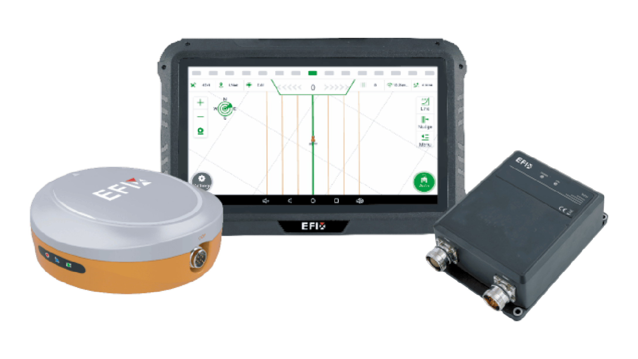
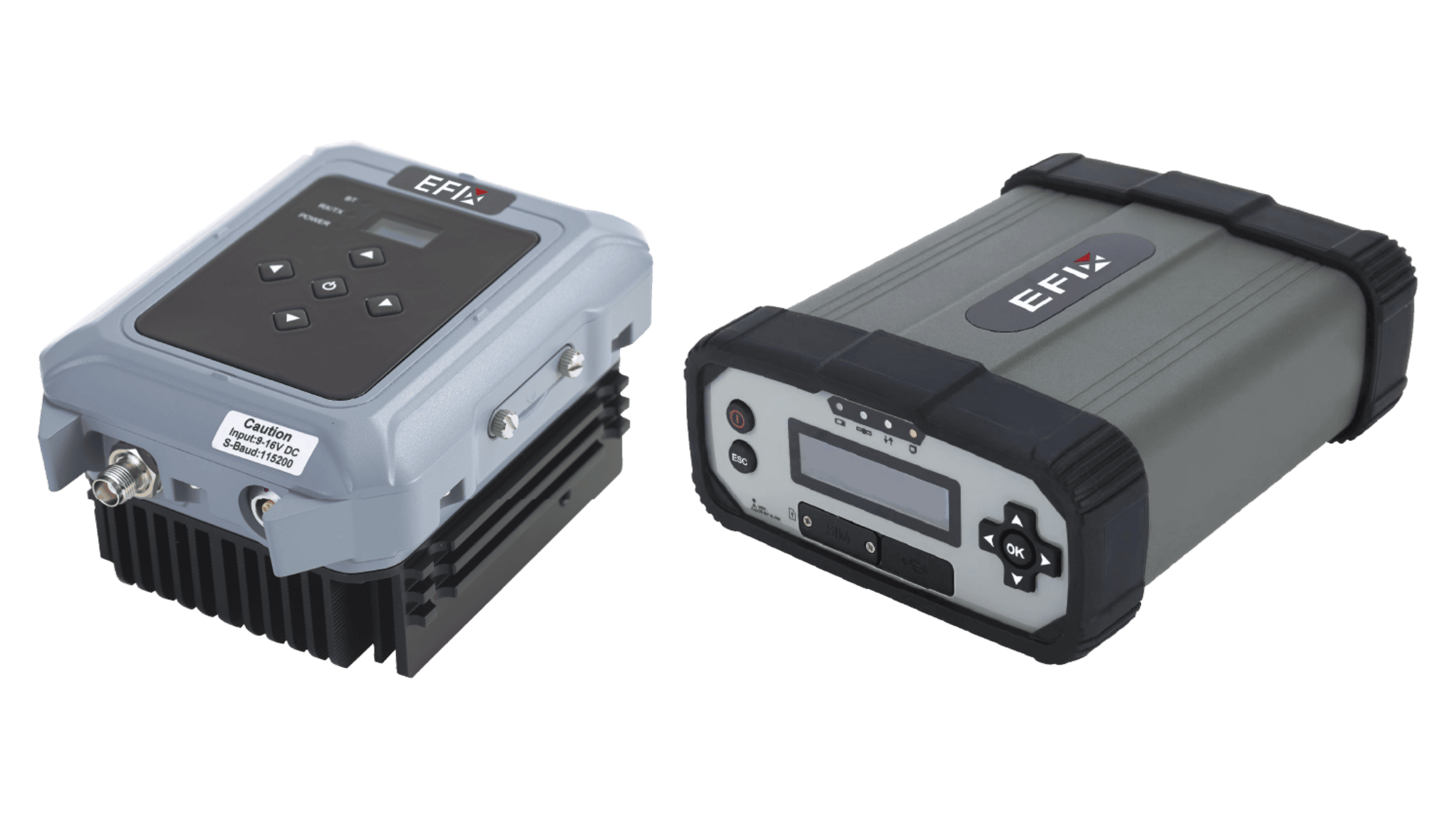
Turning data into precise field action requires a guidance system that is both accurate and reliable. EFIX specializes in providing industry-leading GNSS and auto-steering solutions designed to bridge the gap between digital plans and physical execution.
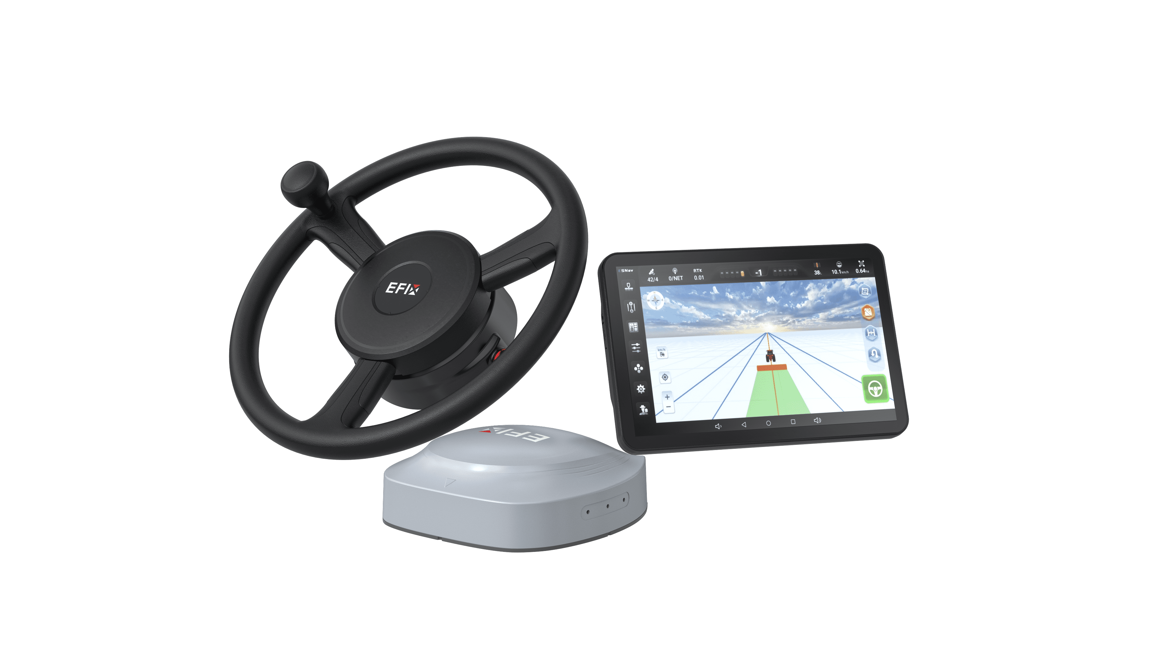
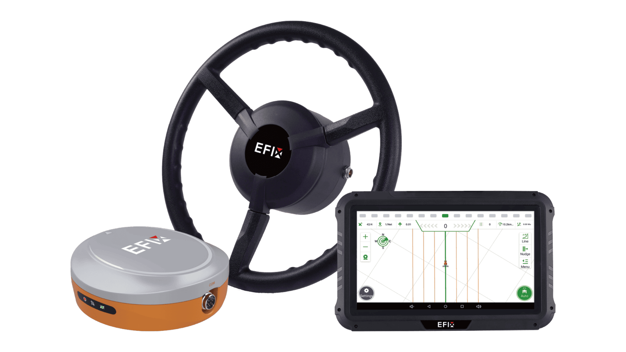
A prime example is the eSteer 20 Max auto steering system. Its key features include:
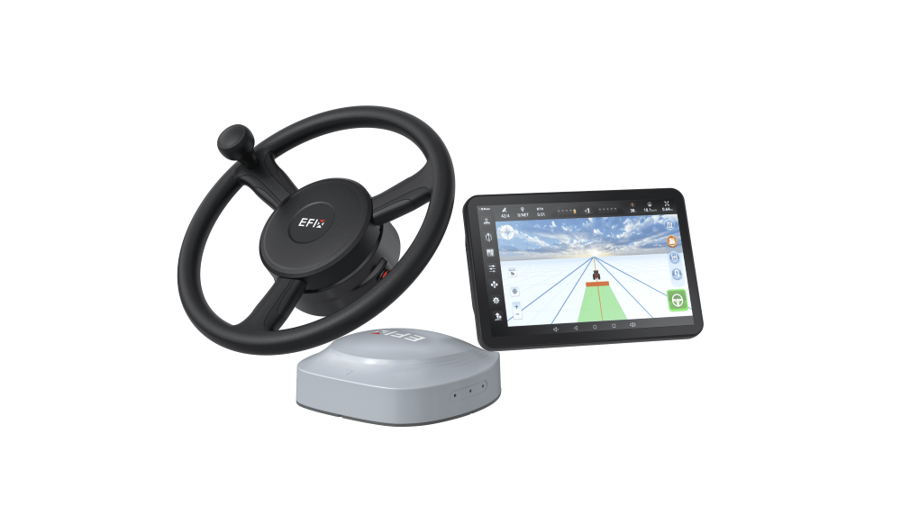
High-Accuracy Positioning Without Network Dependence: It utilizes EFIX’s PointSky satellite correction services, which deliver ±2.5 cm accuracy without requiring a local base station or cellular signal. This is critical for farms in areas with limited network coverage.
ISOBUS Compatibility for Simplified Operation: With AEF-certified ISOBUS functionality (UT, TC-SC, TC-GEO), this single 12.1-inch high-definition display can control implements from various brands. This eliminates the need for multiple monitors in the cab and enables seamless execution of variable-rate prescriptions.
Comprehensive Field Navigation: The system supports a full range of guidance patterns, including straight lines (AB), curves, and loops. Built-in auto-U-turn features (such as headland, boundary, and skipping U-turns) help streamline turns, reduce operator fatigue, and improve efficiency in complex field shapes.
Versatility Across Speed and Tasks: It maintains accuracy across a wide operational range, from low-speed planting (0.1 km/h) to high-speed transport and spreading (up to 30 km/h), making it adaptable to diverse tasks from tillage to harvest.
As a global partner for precision farming, EFIX supports farmers in over 140 countries with localized service and on-site support. For farm owners, dealers, and OEM partners, this focus on practical, cost-effective guidance systems makes advanced use of technology in agriculture more accessible and sustainable.
Conclusion
Precision agriculture in 2026 is defined not by a single gadget, but by the integration of reliable tools—from satellites and sensors to guidance systems and autonomous hardware. These precision agriculture technologies help farmers make more informed decisions, apply inputs with greater accuracy, and manage operations more efficiently.
The foundation of this integrated approach is a robust guidance system. With a strong focus on high accuracy, ISOBUS compatibility, and network-independent operation, EFIX provides the reliable steering solutions needed to turn precision agriculture plans into field-ready reality.
For farm owners seeking to improve efficiency, dealers looking for reliable technology to offer clients, or OEM partners aiming to enhance their equipment with proven guidance systems, EFIX offers a range of solutions built for the demands of modern agriculture. Reach out to us if you need any further support!